Rocks · Undated
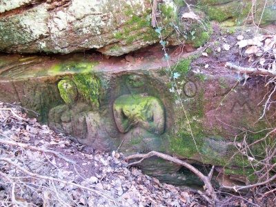
Rotmaarfelsen


Classification
- Subject area
- Natural Features
- Category
- Rocks
- Date
- Undatiert
- Period
- Undated
Location
- District
- City of Trier
- Collective municipality
- Verbandsfreie Gemeinde Trier
- Town
- Trier
- Locality / location
- Ehrang-Quint
- Field name
- Ameisenkaul
- Coordinates
- WGS 84: 49.792476, 6.644744 (Position: exact) WGS 84: 49° 47′ 32.9″ N, 6° 38′ 41.1″ E UTM 32 (ETRS89): E 330488 · N 5518219
Sources
Data sources
- [1] A cache by RoundBox1&nain zusammen mit den Lohne´s http://www.geocaching.com/seek/cache_details.aspx?guid=9d7d1249-fca…
On the internet
Picture credits
Last edited: 5 May 2025 Object ID: 23154
https://kulturdb.de/en/objekt/23154-trier-rotmaarfelsen
Nearby
The nearest objects
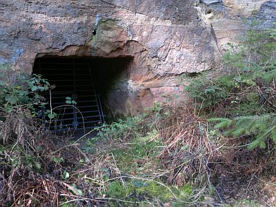 60 m
Caves
Rotmaarhöhle
No picture
420 m
Field Names
Ameisenkaul
No picture
450 m
Field Names
Ameisenkaul
 470 m
Charcoal Kilns
Ehemaliger Meilerplatz
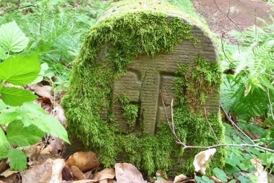 520 m
Surveying
Grenzstein am Steigenberg
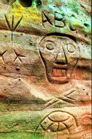 580 m
Inscriptions
Rotmaarfelsen - Inschriften
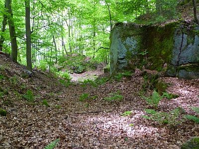 610 m
Extraction and Processing of Raw Materials
Ehemaliger Steinbruch am Steigenberg
 650 m
Works of Art