Settlements · Baroque / Rococo
Historische Siedlung Strass
- Listed monument


© GeoBasis-DE / LVermGeoRP, dl-de/by-2-0
There is no picture of this object yet. Do you have a photo that you would like to make available to the Kulturdatenbank? Submit a picture
Description
This description is only available in German.
Translate with Google opens this page in Google Translate (external service)
[...] Später entwickelte sich entlang der [Paulin] Straße die Siedlung Strass, seit dem späten 18. Jahrhundert Strass-Paulin genannt, die 1888 eingemeindet wurde. [1]
Classification
- Subject area
- Archaeological Monuments
- Category
- Settlements
- Object type
- Settlements
- Date
- Circa 1700 bis circa 1780
- Period
- Baroque / Rococo
Location
- District
- City of Trier
- Collective municipality
- Verbandsfreie Gemeinde Trier
- Town
- Trier
- Locality / location
- Trier-Nord
- Street
- Paulinstraße
- Field name
- Ortslage
- Coordinates
- WGS 84: 49.761151, 6.645574 (Position: exact) WGS 84: 49° 45′ 40.1″ N, 6° 38′ 44.1″ E UTM 32 (ETRS89): E 330439 · N 5514735
Sources
Data sources
- [1] Denkmaltopographie Bundesrepublik Deutschland. Kulturdenkmäler in Rheinland-Pfalz. Band 17.2 Stadt Trier – Stadterweiterung und Stadtteile. Wernersche Verlagsgesellschaft mbH, Worms. ISBN 978-3-88462-275-9 (1. Auflage 2009)
On the internet
Last edited: 6 Apr 2020 Object ID: 23202
https://kulturdb.de/en/objekt/23202-trier-nord-historische-siedlung-strass
Nearby
The nearest objects
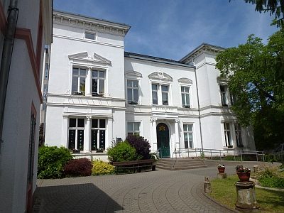 less than 10 m
Town Houses and Commercial Buildings
Villa Laeis oder Villa Henn (1)
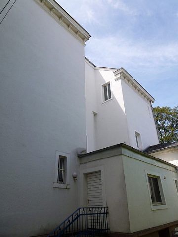 less than 10 m
Town Houses and Commercial Buildings
Villa Laeis oder Villa Henn (2)
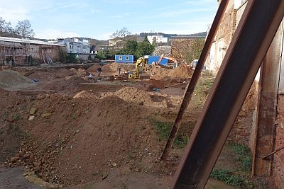 50 m
Burial Mounds
Gräberfeld
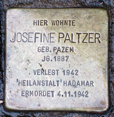 90 m
Stolpersteine (Stumbling Stones)
Stolperstein für Josefine Paltzer
Jewish History
Jüdische Geschichte Paulin
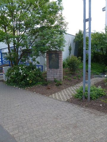 110 m
Monuments
Gedenktafel für Hans Eiden
Street Names
Engelstraße
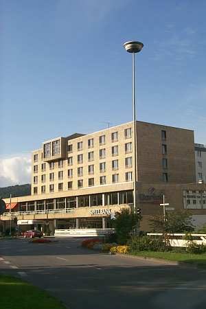 130 m
Catering, Inns and Hotels