Historic Townscapes · Neoclassicism
Denkmalzone Ortskern
- Listed monument


Description
This description is only available in German.
Translate with Google opens this page in Google Translate (external service)
Kleinstädtisches Straßenbild entlang der Hauptstraße um die katholische Pfarrkirche, traufständige Wohn- und Geschäftshäuser meist aus der ersten Hälfte des 19. Jahrhunderts. [1]
Classification
- Subject area
- Architectural and Art Monuments
- Category
- Historic Townscapes
- Date
- Erste Hälfte des 19. Jahrhunderts
- Period
- Neoclassicism
Location
- District
- Eifelkreis Bitburg-Prüm
- Collective municipality
- Arzfeld
- Municipality
- Waxweiler
- Street
- Hauptstraße
- Field name
- Unten in der Acht
- Coordinates
- WGS 84: 50.092325, 6.363267 (Position: exact) WGS 84: 50° 05′ 32.4″ N, 6° 21′ 47.8″ E UTM 32 (ETRS89): E 311407 · N 5552226
Sources
Data sources
- [1] Denkmalliste der Generaldirektion Kulturelles Erbe, Rheinland-Pfalz; 2010.
On the internet
Picture credits
Last edited: 5 Sep 2017 Object ID: 23250
https://kulturdb.de/en/objekt/23250-waxweiler-denkmalzone-ortskern
Nearby
The nearest objects
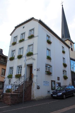 10 m
Farmhouses and Farm Buildings
Ehemaliges Wohnhaus
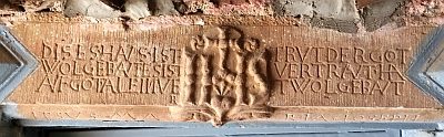 10 m
Town Houses and Commercial Buildings
Türsturz
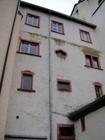 30 m
Farmhouses and Farm Buildings
Fenster
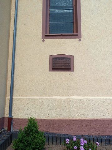 30 m
Monuments
Sankt Johannes der Täufer - Gedenktafel
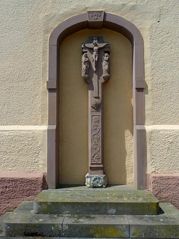 30 m
Wayside Shrines and Stations of the Cross
Sankt Johannes der Täufer - Bußkreuz
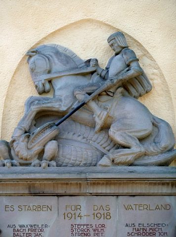 40 m
War Memorials
Sankt Johannes der Täufer - Kriegerdenkmal 1914-45
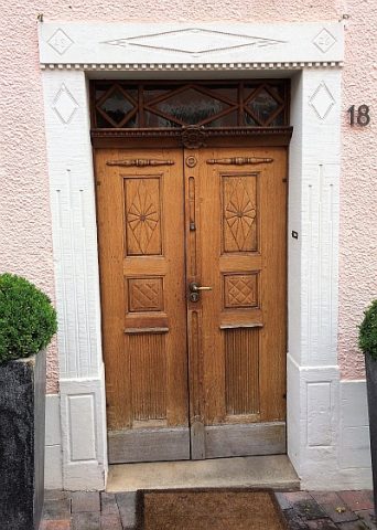 40 m
Farmhouses and Farm Buildings
Wohnhaus
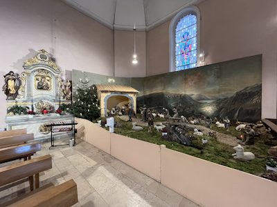 40 m
Nativity Scenes