Dry Maars · Undated
Steinborner Maar


© GeoBasis-DE / LVermGeoRP, dl-de/by-2-0
There is no picture of this object yet. Do you have a photo that you would like to make available to the Kulturdatenbank? Submit a picture
Classification
- Subject area
- Natural Features
- Category
- Maars
- Object type
- Dry Maars
- Date
- Undatiert
- Period
- Undated
Location
- District
- Vulkaneifel
- Town
- Daun
- Locality / location
- Laachmühle
- Field name
- Bohnigwies
- Coordinates
- WGS 84: 50.210367, 6.796822 (Position: exact) WGS 84: 50° 12′ 37.3″ N, 6° 47′ 48.6″ E UTM 32 (ETRS89): E 342802 · N 5564344
Sources
Data sources
- The maars of the ELSA Archive http://www.staff.uni-mainz.de/schaber/Schaber_2005/Tab_01.pdf
On the internet
Last edited: 15 Aug 2011 Object ID: 23408
https://kulturdb.de/en/objekt/23408-daun-steinborner-maar
Nearby
The nearest objects
No picture
10 m
Volcanoes
Vulkan Steinborner Maar
 170 m
Mills
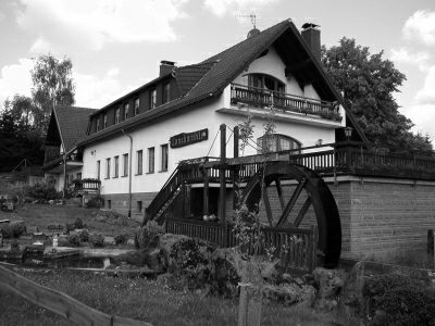
Laachmühle am Pützbach
No picture
250 m
Field Names
Von Steinborn nach Daun
No picture
280 m
Field Names
Im Werth
No picture
360 m
Field Names
Zu Räsborn
No picture
410 m
Field Names
Auf Ranzborn
No picture
490 m
Field Names
Auf dem Kodensur
No picture
510 m
Field Names