Wayside Shrines and Stations of the Cross · 20th Century
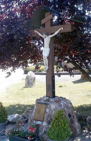
Wegekreuz
- Listed monument


Description
This description is only available in German.
Translate with Google opens this page in Google Translate (external service)
Classification
- Subject area
- Architectural and Art Monuments
- Category
- Religious Buildings
- Object type
- Wayside Shrines and Stations of the Cross
- Date
- 1921
- Period
- 20th Century
Location
- District
- Trier-Saarburg
- Collective municipality
- Hermeskeil
- Municipality
- Reinsfeld
- Street
- Gegenüber Renusstraße
- Field name
- Ortslage
- Coordinates
- WGS 84: 49.672969, 6.872707 (Position: presumed) WGS 84: 49° 40′ 22.7″ N, 6° 52′ 21.7″ E UTM 32 (ETRS89): E 346517 · N 5504444
Sources
Data sources
- [1] Denkmalliste der Generaldirektion Kulturelles Erbe, Rheinland-Pfalz; 2011.
- [2] Michael Grün, Trier, 2019.
On the internet
Picture credits
Last edited: 9 Apr 2021 Object ID: 23868
https://kulturdb.de/en/objekt/23868-reinsfeld-wegekreuz
Nearby
The nearest objects
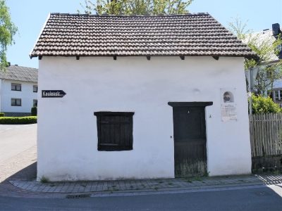 100 m
Extraction and Processing of Raw Materials
Napoleons-Schmiede
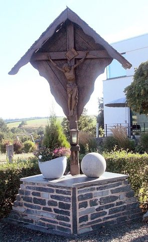 220 m
Wayside Shrines and Stations of the Cross
Osterbergkreuz
No picture
340 m
Farmhouses and Farm Buildings
Quereinhaus
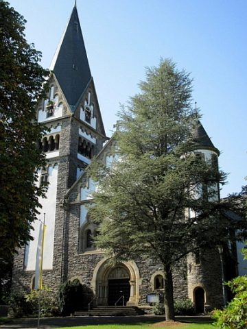 390 m
Catholic Churches
Sankt Remigius
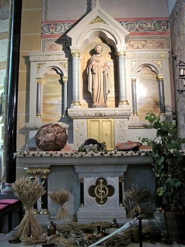 390 m
Catholic Churches
Sankt Remigius - Ausstattung
 390 m
Organs
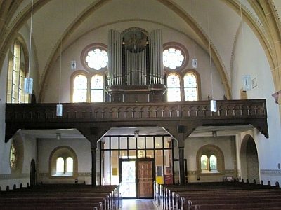
Sankt Remigius - Orgel
 420 m
Rectories
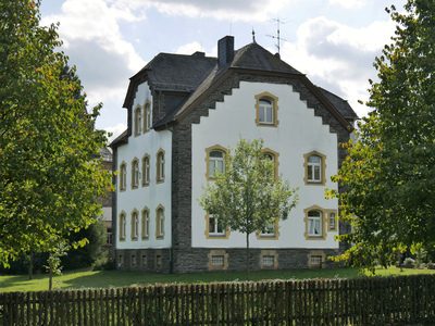
Katholisches Pfarrhaus
 440 m
Wayside Shrines and Stations of the Cross