Fountains and Wells · Undated
Ramstein Brunnen 8

Classification
- Subject area
- Architectural and Art Monuments
- Category
- Fountains and Wells
- Date
- Undatiert
- Period
- Undated
Location
- District
- Trier-Saarburg
- Collective municipality
- Trier-Land
- Municipality
- Kordel
- Locality / location
- Burg Ramstein
- Field name
- Gegen der Laufbach
- Coordinates
- WGS 84: 49.822314, 6.655131 (Position: exact) WGS 84: 49° 49′ 20.3″ N, 6° 39′ 18.5″ E UTM 32 (ETRS89): E 331339 · N 5521513
Sources
Data sources
- [1] GeoPortal des Landes Rheinland-Pfalz. http://www.geoportal.rlp.de/
On the internet
Picture credits
- Picture 1: © Peter Valerius, Kordel, 2012.
Last edited: 20 Aug 2012 Object ID: 24231
https://kulturdb.de/en/objekt/24231-kordel-ramstein-brunnen-8
Nearby
The nearest objects
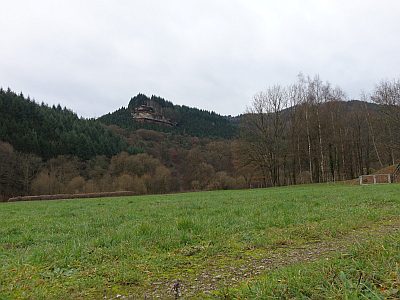 90 m
Field Names
Gegen der Laufbach
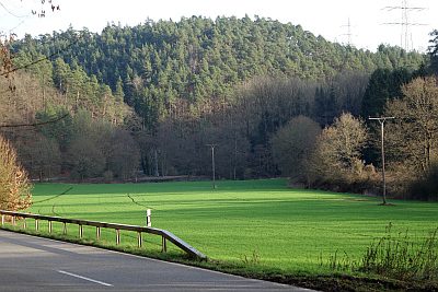 100 m
Field Names
Unter der Rotlay
No picture
110 m
Field Names
Auf der Laufbach
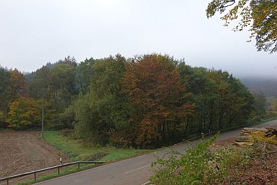 120 m
Field Names
Unter der Hohlenlay
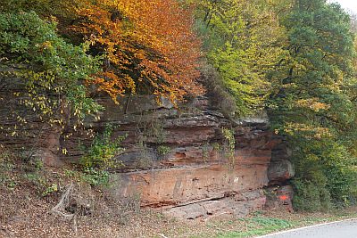 130 m
Rocks
Felszug unter der Fitscherheldkanzel
 130 m
Field Names
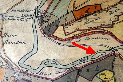
Ehemalige Kyll-Insel auf der Laufbach
 160 m
Pilgrimage Routes
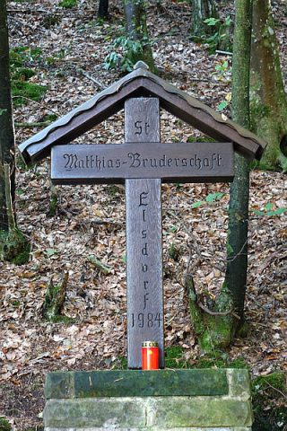
Pilgerkreuz am Laufbach
 160 m
Inscriptions