Field Names · Undated
Ehemalige Kyll-Insel auf der Laufbach


Description
This description is only available in German.
Translate with Google opens this page in Google Translate (external service)
Die Topographischen Karten von 1891 bis 1978 verzeichnen noch diese Insel. Seitdem hat sich das Flussbett der Kyll aber so verändert, dass die Insel nicht mehr zu sehen ist. [1]
Classification
- Subject area
- History
- Category
- Field Names
- Date
- Undatiert
- Period
- Undated
Location
- District
- Trier-Saarburg
- Collective municipality
- Trier-Land
- Municipality
- Kordel
- Locality / location
- Burg Ramstein
- Field name
- Kyll-Insel auf der Laufbach
- Coordinates
- WGS 84: 49.822003, 6.656933 (Position: exact) WGS 84: 49° 49′ 19.2″ N, 6° 39′ 25.0″ E UTM 32 (ETRS89): E 331468 · N 5521474
Sources
Data sources
- [1] Peter Valerius, 2015.
On the internet
Picture credits
Last edited: 16 Jul 2020 Object ID: 18602
https://kulturdb.de/en/objekt/18602-kordel-ehemalige-kyll-insel-auf-der-laufbach
Nearby
The nearest objects
 130 m
Fountains and Wells
Ramstein Brunnen 8
 150 m
Field Names
In den Lorbachsfeldern
Field Names
Auf der Laufbach
 160 m
Field Names
Unter der Rotlay
 200 m
Rocks
Felszug unter der Fitscherheldkanzel
 210 m
Pilgrimage Routes
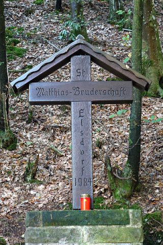
Pilgerkreuz am Laufbach
 220 m
Inscriptions
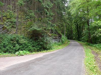
Felsinschrift am Laufbach
Field Names