Field Names · Undated
Hinter Fitscherheld


© GeoBasis-DE / LVermGeoRP, dl-de/by-2-0
There is no picture of this object yet. Do you have a photo that you would like to make available to the Kulturdatenbank? Submit a picture
Description
This description is only available in German.
Translate with Google opens this page in Google Translate (external service)
Bedeutung unklar. Möglicherweise von 'Fitsche' = gefällter Tannenstamm. [1]
Classification
- Subject area
- History
- Category
- Field Names
- Date
- Undatiert
- Period
- Undated
Location
- District
- Trier-Saarburg
- Collective municipality
- Trier-Land
- Municipality
- Kordel
- Field name
- Hinter Fitscherheld
- Coordinates
- WGS 84: 49.824347, 6.657382 (Position: exact) WGS 84: 49° 49′ 27.6″ N, 6° 39′ 26.6″ E UTM 32 (ETRS89): E 331508 · N 5521734
Sources
Data sources
- [1] Rheinisches Wörterbuch. http://woerterbuchnetz.de/RhWB/?sigle=RhWB&mode=Vernetzung&lemid=RA…
On the internet
Last edited: 16 Jul 2020 Object ID: 18466
https://kulturdb.de/en/objekt/18466-kordel-hinter-fitscherheld
Nearby
The nearest objects
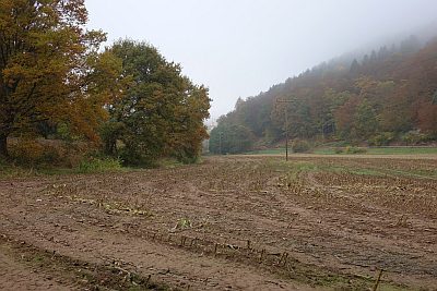 140 m
Field Names
In den Lorbachsfeldern
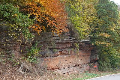 180 m
Rocks
Felszug unter der Fitscherheldkanzel
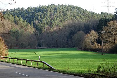 180 m
Field Names
Unter der Rotlay
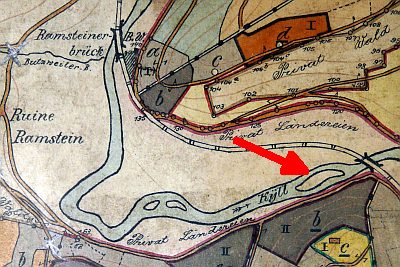 260 m
Field Names
Ehemalige Kyll-Insel auf der Laufbach
 280 m
Fountains and Wells
Ramstein Brunnen 8
 320 m
Rocks
Fitscherheld-Kanzel
 320 m
Field Names
Auf der Cutwies
Field Names