Rocks · Undated
Fitscherheld-Kanzel
- Listed monument


Classification
- Subject area
- Natural Features
- Category
- Rocks
- Date
- Undatiert
- Period
- Undated
Location
- District
- Trier-Saarburg
- Collective municipality
- Trier-Land
- Municipality
- Kordel
- Field name
- Im Riemenberg
- Coordinates
- WGS 84: 49.827184, 6.658018 (Position: exact) WGS 84: 49° 49′ 37.9″ N, 6° 39′ 28.9″ E UTM 32 (ETRS89): E 331564 · N 5522048
Sources
Data sources
- [1] GeoPortal des Landes Rheinland-Pfalz. http://www.geoportal.rlp.de/
On the internet
Picture credits
Last edited: 28 Jul 2015 Object ID: 3644
https://kulturdb.de/en/objekt/3644-kordel-fitscherheld-kanzel
Nearby
The nearest objects
 160 m
Rocks
Felsen unter der Fitscherheldkanzel
 250 m
Charcoal Kilns
Ehemaliger Meilerplatz
No picture
320 m
Field Names
Hinter Fitscherheld
No picture
350 m
Rocks
Felsen westlich des unteren Lohrbachtals
420 m
Charcoal Kilns
Ehemaliger Meilerplatz
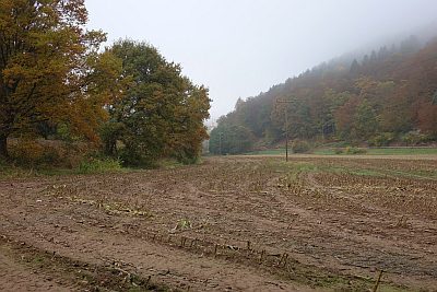 450 m
Field Names
In den Lorbachsfeldern
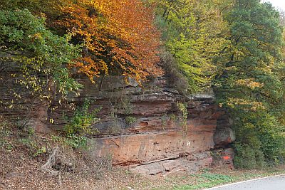 460 m
Rocks
Felszug unter der Fitscherheldkanzel
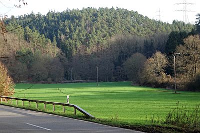 480 m
Field Names