Place Names / Local History · Gothic
Erste Erwähnung als Wallenburne

Description
This description is only available in German.
Translate with Google opens this page in Google Translate (external service)
Die erste Erwähnung des Ortes unter dem Namen "Wallenburne" findet sich ein einer Urkunde vom 20. Juli 1225, in der Gerhard von Blankenheim der Abtei Himmerod ein Stück geschenkten Stückes Land bestätigt.
Bis Ende des 18. Jahrhunderts lag Wallenborn im kurtrierschen Amt Manderscheid, war aber reichsritterschaftlich und gehörte dem Herzog von Aremberg und dem Freiherrn von Zandt gemeinschaftlich. [1]
Classification
- Subject area
- History
- Category
- Place Names / Local History
- Date
- 20.07.1225
- Period
- Gothic
Location
- District
- Vulkaneifel
- Collective municipality
- Daun
- Municipality
- Wallenborn
- Field name
- Ortslage
- Coordinates
- WGS 84: 50.154974, 6.721036 (Position: exact) WGS 84: 50° 09′ 17.9″ N, 6° 43′ 15.7″ E UTM 32 (ETRS89): E 337207 · N 5558348
Sources
Data sources
- [1] Seite "Wallenborn". In: Wikipedia, Die freie Enzyklopädie. Bearbeitungsstand: 7. Juni 2012, 18:56 UTC. URL: http://de.wikipedia.org/w/index.php?title=Wallenborn&oldid=104135040 (Abgerufen: 1. Juli 2012, 10:25 UTC)
On the internet
Picture credits
- Picture 1: Fredy Lange (um 1960). Sammlung Wilma Herzog, Gerolstein, 2012. © Edith Lange-Löckenhoff.
Last edited: 1 Jul 2012 Object ID: 24740
https://kulturdb.de/en/objekt/24740-wallenborn-erste-erwaehnung-als-wallenburne
Nearby
The nearest objects
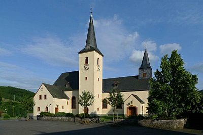 40 m
Catholic Churches
Sankt Sebastian (1)
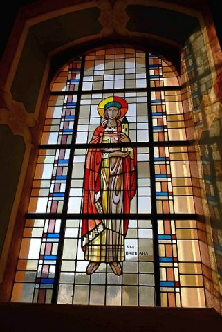 40 m
Catholic Churches
Sankt Sebastian (2)
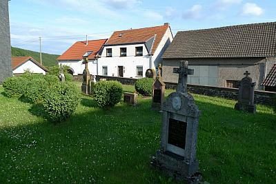 50 m
Christian Cemeteries
Alter Friedhof an der Pfarrkirche
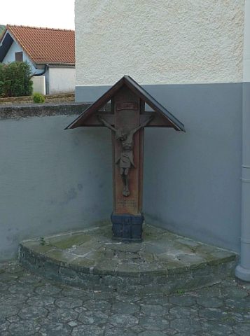 60 m
Wayside Shrines and Stations of the Cross
Gedenkkreuz an der Pfarrkirche
 120 m
Wayside Shrines and Stations of the Cross
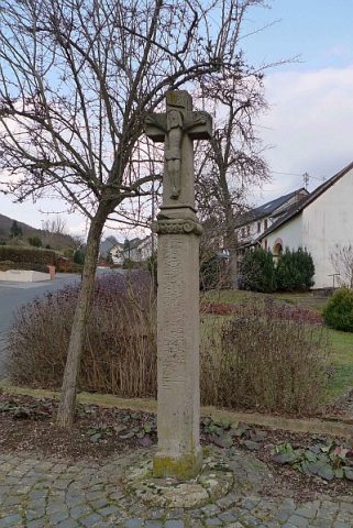
Sogenanntes Äschenkreuz
 130 m
Geysers
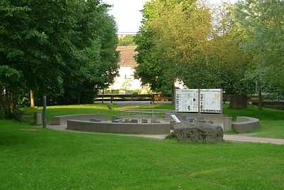
Wallender Born Brubbel
Wayside Shrines and Stations of the Cross
Wegekreuz
Washing Places