Volcanoes · Undated
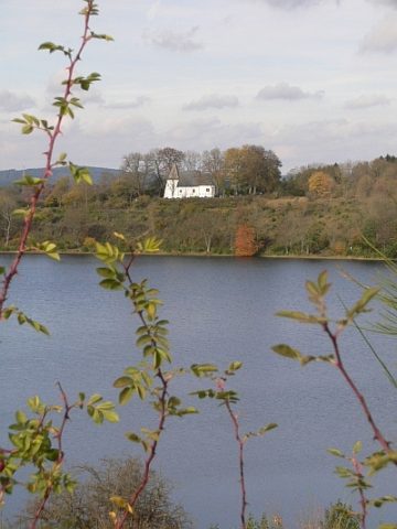
Vulkan Weinfelder Maar (Totenmaar)
Historische Aufnahmen von Fredy Lange
- Listed monument


Description
This description is only available in German.
Translate with Google opens this page in Google Translate (external service)
Circa 2,5km südöstlich von Daun, Wasserfläche 16,8 ha, Tiefe 51 m. Durchmesser 525 m.
Classification
- Subject area
- Natural Features
- Category
- Geological Features
- Object type
- Volcanoes
- Date
- Undatiert
- Period
- Undated
Location
- District
- Vulkaneifel
- Collective municipality
- Daun
- Municipality
- Schalkenmehren
- Locality / location
- Weinfeld
- Field name
- Weinfelder Maar
- Coordinates
- WGS 84: 50.176503, 6.850301 (Position: exact) WGS 84: 50° 10′ 35.4″ N, 6° 51′ 01.1″ E UTM 32 (ETRS89): E 346509 · N 5560467
Sources
Data sources
- Karte Vulkaneifel, Sehenswürdigkeiten, Daun 1996
On the internet
Picture credits
- Picture 1: Fredy Lange (1963). Sammlung Wilma Herzog, Gerolstein, 2012. © Edith Lange-Löckenhoff.
- Picture 2: Fredy Lange (1963). Sammlung Wilma Herzog, Gerolstein, 2012. © Edith Lange-Löckenhoff.
- Picture 3: Fredy Lange (1963). Sammlung Wilma Herzog, Gerolstein, 2012. © Edith Lange-Löckenhoff.
- Picture 4: Fredy Lange (1963). Sammlung Wilma Herzog, Gerolstein, 2012. © Edith Lange-Löckenhoff.
- Picture 5: Fredy Lange (1963). Sammlung Wilma Herzog, Gerolstein, 2012. © Edith Lange-Löckenhoff.
- Picture 6: Fredy Lange (undatiert). Sammlung Wilma Herzog, Gerolstein, 2012. © Edith Lange-Löckenhoff.
Last edited: 11 Aug 2013 Object ID: 24741
https://kulturdb.de/en/objekt/24741-schalkenmehren-vulkan-weinfelder-maar-totenmaar
Nearby
The nearest objects
 less than 10 m
Maar Lakes
Weinfelder Maar (Totenmaar)
 240 m
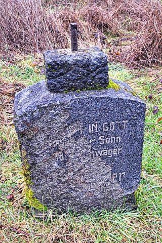
Wayside Shrines and Stations of the Cross
Kreuzsockel am Weinfelder Maar
 280 m
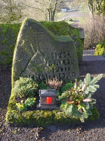
Burial Sites
Weinfelder Friedhof - Grab von Pitt Kreuzberg
 280 m
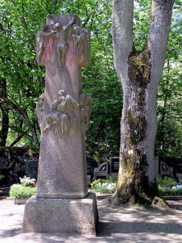
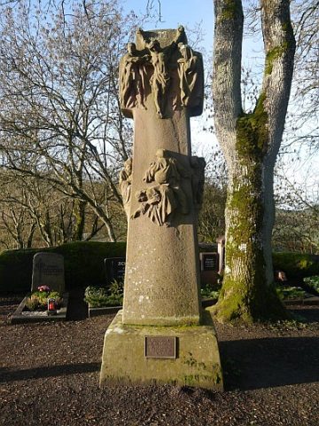
Christian Cemeteries
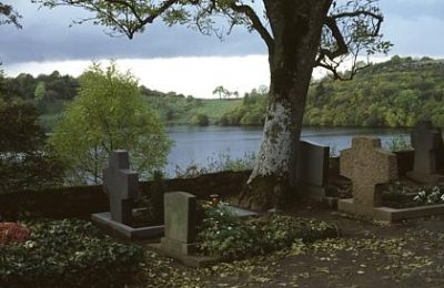
Weinfelder Friedhof
 290 m
War Memorials
Weinfelder Friedhof - Friedenskreuz
 290 m
Chapels
Martinskapelle am Weinfelder Maar
 290 m
Temples, Sanctuaries
Römische Fundamente
 290 m
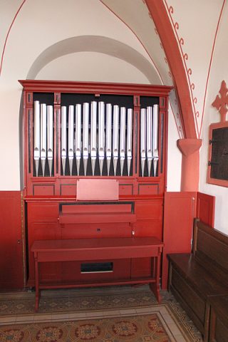
Organs