Natural Landscapes · Historicism / Art Nouveau
Ehemalige Caspary-Brauerei - Hopfenanbau


Description
This description is only available in German.
Translate with Google opens this page in Google Translate (external service)
Kleines Hopfenanbaugebiet der Caspary-Brauerei.
Classification
- Subject area
- Natural Features
- Category
- Natural Landscapes
- Date
- 1873 1874
Location
- District
- City of Trier
- Collective municipality
- Verbandsfreie Gemeinde Trier
- Town
- Trier
- Locality / location
- Heiligkreuz
- Street
- Im Hopfengarten
- Field name
- Ortslage
- Coordinates
- WGS 84: 49.743173, 6.639057 (Position: exact) WGS 84: 49° 44′ 35.4″ N, 6° 38′ 20.6″ E UTM 32 (ETRS89): E 329906 · N 5512751
Sources
On the internet
de.wikipedia.org/wiki/Trier-Heiligkreuz
Picture credits
Last edited: 9 Aug 2012 Object ID: 24934
https://kulturdb.de/en/objekt/24934-trier-ehemalige-caspary-brauerei-hopfenanbau
Nearby
The nearest objects
 50 m
Street Names
Gambrinusstraße
 80 m
Catering, Inns and Hotels
Ehemalige Caspary-Brauerei in Heiligkreuz
Extraction and Processing of Raw Materials
Römisches Handwerkerviertel
Extraction and Processing of Raw Materials
Römisches Handwerkerviertel
 120 m
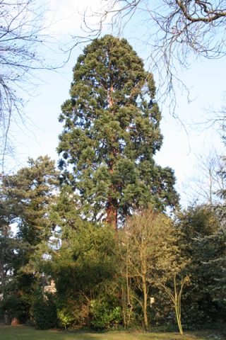
Thujas
Riesenlebensbaum im Caspary-Park
130 m
Street Names
Anton-Caspary-Straße
 140 m
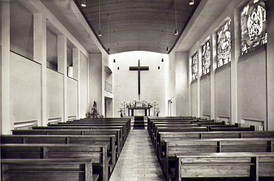
Chapels
Ursulinenkloster - Ehemalige Klosterkapelle
 150 m
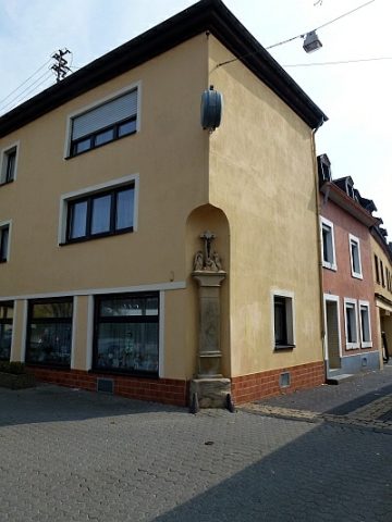
Wayside Shrines and Stations of the Cross