Wayside Shrines and Stations of the Cross · Undated
Wegekreuz


© GeoBasis-DE / LVermGeoRP, dl-de/by-2-0
There is no picture of this object yet. Do you have a photo that you would like to make available to the Kulturdatenbank? Submit a picture
Classification
- Subject area
- Architectural and Art Monuments
- Category
- Religious Buildings
- Object type
- Wayside Shrines and Stations of the Cross
- Date
- Undatiert
- Period
- Undated
Location
- District
- Vulkaneifel
- Collective municipality
- Gerolstein
- Municipality
- Lissendorf
- Street
- Rosley 5
- Field name
- Auf dem Berg
- Coordinates
- WGS 84: 50.313629, 6.602964 (Position: exact) WGS 84: 50° 18′ 49.1″ N, 6° 36′ 10.7″ E UTM 32 (ETRS89): E 329341 · N 5576250
Sources
Data sources
- [1] GeoPortal des Landes Rheinland-Pfalz. http://www.geoportal.rlp.de/
On the internet
Last edited: 4 Sep 2012 Object ID: 25063
https://kulturdb.de/en/objekt/25063-lissendorf-wegekreuz
Nearby
The nearest objects
No picture
50 m
Farmhouses and Farm Buildings
Wohnhaus
No picture
50 m
Farmhouses and Farm Buildings
Zweigeschossiger Putzbau
No picture
140 m
Washing Places
Ehemaliger Bleichplatz für Wäsche
 180 m
Cremation Graves
Römisches Brandgrab
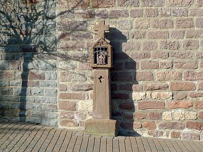 180 m
Wayside Shrines and Stations of the Cross
Gedenkkreuz vor der Kirche
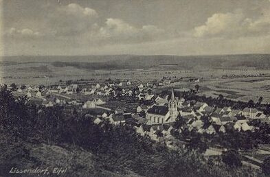 210 m
Catholic Churches
Sankt Dionysius
No picture
270 m
Farmhouses and Farm Buildings
Winkelhof
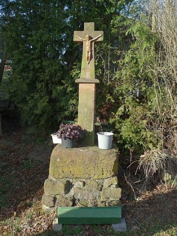 270 m
Wayside Shrines and Stations of the Cross