Wayside Shrines and Stations of the Cross · Undated
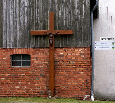
Kreuz auf dem Faulenberg


Description
This description is only available in German.
Translate with Google opens this page in Google Translate (external service)
Auf 464,9 Meter Meter über Normal-Null.
Classification
- Subject area
- Architectural and Art Monuments
- Category
- Religious Buildings
- Object type
- Wayside Shrines and Stations of the Cross
- Date
- Undatiert
- Period
- Undated
Location
- District
- Trier-Saarburg
- Collective municipality
- Hermeskeil
- Municipality
- Rascheid
- Field name
- In der Mulde
- Coordinates
- WGS 84: 49.715885, 6.942954 (Position: exact) WGS 84: 49° 42′ 57.2″ N, 6° 56′ 34.6″ E UTM 32 (ETRS89): E 351716 · N 5509073
Sources
Data sources
- GeoPortal des Landes Rheinland-Pfalz. http://www.geoportal.rlp.de/
On the internet
Picture credits
Last edited: 19 Sep 2012 Object ID: 25108
https://kulturdb.de/en/objekt/25108-rascheid-kreuz-auf-dem-faulenberg
Nearby
The nearest objects
 130 m
Field Names
Im Faulenberg
No picture
200 m
Field Names
In der Hostert
No picture
270 m
Wayside Shrines and Stations of the Cross
Wegekreuz
520 m
Field Names
Faulenberg
No picture
570 m
Farmhouses and Farm Buildings
Quereinhaus
 620 m
Wayside Shrines and Stations of the Cross
Holzkreuz
No picture
650 m
Deserted Settlements
Wüstung Harsburg
No picture
690 m
Field Names