Deserted Settlements · Renaissance
Wüstung Harsburg
- Listed monument


© GeoBasis-DE / LVermGeoRP, dl-de/by-2-0
There is no picture of this object yet. Do you have a photo that you would like to make available to the Kulturdatenbank? Submit a picture
Description
This description is only available in German.
Translate with Google opens this page in Google Translate (external service)
Geisfeld bildete eine der elf Zendereien der Pflege beziehungsweise des Hochgerichts Reinsfeld im Amt Grimburg. Zur Zenderei und zum Dorf gehörte ein Ort Bauscheid der schon 1563 nicht mehr bestanden hatte und Wüstung geworden war. An ihn erinnert noch der Flurnamen etwa n der Mitte der heutigen Gemarkung.
Eine weitere, bei Rascheid gelegene Wüstung Harsburg gehöre zur Pfarrei und Zenterei Geisfeld. Diese vermutlich im Dreißigjährigen Krieg untergegangene Siedlung bestand 1563 aus vier Feuerstellen. [1]
Classification
- Subject area
- Archaeological Monuments
- Category
- Settlements
- Object type
- Deserted Settlements
- Date
- Um 1563
- Period
- Renaissance
Location
- District
- Trier-Saarburg
- Collective municipality
- Hermeskeil
- Municipality
- Geisfeld
- Locality / location
- Bauscheiderhof
- Field name
- Im Laubfloss
- Coordinates
- WGS 84: 49.710112, 6.944129 (Position: exact) WGS 84: 49° 42′ 36.4″ N, 6° 56′ 38.9″ E UTM 32 (ETRS89): E 351783 · N 5508429
Sources
Data sources
- [1] Denkmaltopographie Bundesrepublik Deutschland, Kulturdenkmäler in Rheinland-Pfalz, Kreis Trier-Saarburg, 12.1 Wernersche Verlagsgesellschaft 1994
On the internet
Last edited: 23 Apr 2004 Object ID: 8185
https://kulturdb.de/en/objekt/8185-geisfeld-wuestung-harsburg
Nearby
The nearest objects
Field Names
Rehbockrech
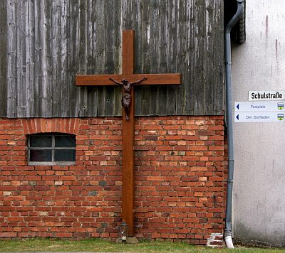 420 m
Wayside Shrines and Stations of the Cross
Holzkreuz
Farmhouses and Farm Buildings
Quereinhaus
 500 m
Fountains and Wells
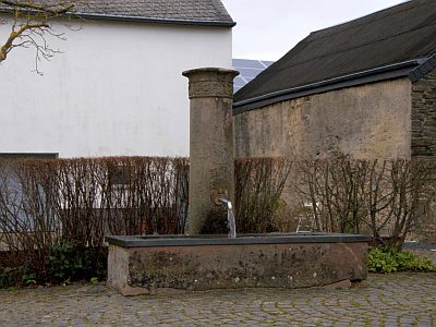
Laufbrunnen
 500 m
Wayside Shrines and Stations of the Cross
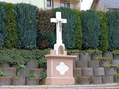
Altarkreuz
Field Names
In der Hostert
Wayside Shrines and Stations of the Cross
Wegekreuz
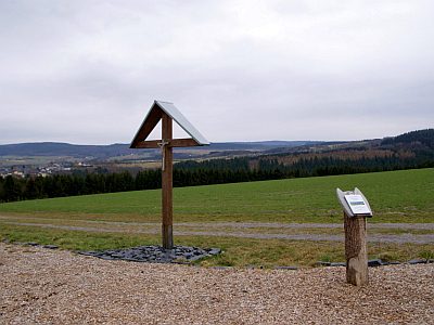 650 m
Wayside Shrines and Stations of the Cross