Marian Grottoes · 20th Century
Lourdesgrotte
- Listed monument


Description
This description is only available in German.
Translate with Google opens this page in Google Translate (external service)
Lourdesgrotte im Wald gegenüber dem Sägewerk.
Classification
- Subject area
- Architectural and Art Monuments
- Category
- Religious Buildings
- Object type
- Marian Grottoes
- Date
- 1934
- Period
- 20th Century
Location
- District
- Vulkaneifel
- Collective municipality
- Gerolstein
- Municipality
- Densborn
- Street
- Mürlenbacher Straße
- Field name
- Kyllheld
- Coordinates
- WGS 84: 50.128564, 6.598351 (Position: exact) WGS 84: 50° 07′ 42.8″ N, 6° 35′ 54.1″ E UTM 32 (ETRS89): E 328349 · N 5555687
Sources
Data sources
- [1] Helmut Bauer, Trier, 2013.
On the internet
Picture credits
Last edited: 10 Apr 2013 Object ID: 25134
https://kulturdb.de/en/objekt/25134-densborn-lourdesgrotte
Nearby
The nearest objects
No picture
130 m
Field Names
Im Kirchenpesch
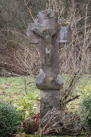 160 m
Wayside Shrines and Stations of the Cross
Wegekreuz
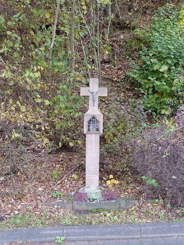 180 m
Wayside Shrines and Stations of the Cross
Wegekreuz an der Bitburger Straße
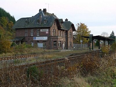 190 m
Railways
Eifelbahn (Denkmalzone)
No picture
260 m
Field Names
Im Nassenpesch
No picture
270 m
Wayside Shrines and Stations of the Cross
Wegekreuz
No picture
300 m
Wayside Shrines and Stations of the Cross
Wegekreuz
 320 m
Coats of Arms