Place Names / Local History · Undated
Ortsname / Ortsgeschichte


Description
This description is only available in German.
Translate with Google opens this page in Google Translate (external service)
Der Name geht auf das moselfränkische drees = Sauerbrunnen zurück. Im Mittelalter besaß Dreis als Freies Reichsdorf das Recht, eigene Münzen zu prägen. [1]
Classification
- Subject area
- History
- Category
- Place Names / Local History
- Date
- Undatiert
- Period
- Undated
Location
- District
- Bernkastel-Wittlich
- Collective municipality
- Wittlich-Land
- Municipality
- Dreis
- Field name
- Ortslage
- Coordinates
- WGS 84: 49.941322, 6.818832 (Position: within the village) WGS 84: 49° 56′ 28.8″ N, 6° 49′ 07.8″ E UTM 32 (ETRS89): E 343498 · N 5534387
Sources
Data sources
- [1] Juliane Neu und Karl-Josef Prüm: Natur live erleben. 11 Rad und Wandertouren zu den schönsten Naturdenkmalen im Kreis Trier-Saarburg. Verlag Sanfter Tourismus Trier. 1996
On the internet
Picture credits
Last edited: 12 Sep 2016 Object ID: 2532
https://kulturdb.de/en/objekt/2532-dreis-ortsname-ortsgeschichte
Nearby
The nearest objects
 less than 10 m
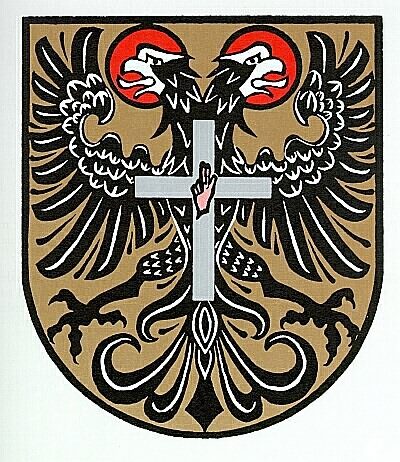
Coats of Arms
Wappen der Gemeinde Dreis
 30 m
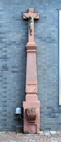
Wayside Shrines and Stations of the Cross
Sogenanntes Pferdekreuz
Farmhouses and Farm Buildings
Haus Bergstraße 1
 40 m
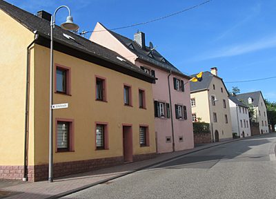
Farmhouses and Farm Buildings
Haus Freie Reichsstraße 50
50 m
Farmhouses and Farm Buildings
Haus Freie Reichsstraße 51
Farmhouses and Farm Buildings
Wohnhaus
70 m
Farmhouses and Farm Buildings
Haus Freie Reichsstraße 52
80 m
Farmhouses and Farm Buildings