Wayside Shrines and Stations of the Cross · 20th Century
Dorfkreuz


© GeoBasis-DE / LVermGeoRP, dl-de/by-2-0
There is no picture of this object yet. Do you have a photo that you would like to make available to the Kulturdatenbank? Submit a picture
Description
This description is only available in German.
Translate with Google opens this page in Google Translate (external service)
Holzkreuz, das 1955 erneuert wurde. Einige Bewohner wollen es mit der Pest in Verbindung bringen. [1]
Classification
- Subject area
- Architectural and Art Monuments
- Category
- Religious Buildings
- Object type
- Wayside Shrines and Stations of the Cross
- Date
- 1955
- Period
- 20th Century
Location
- District
- Trier-Saarburg
- Collective municipality
- Hermeskeil
- Municipality
- Grimburg
- Field name
- In Birm
- Coordinates
- WGS 84: 49.619832, 6.879138 (Position: exact) WGS 84: 49° 37′ 11.4″ N, 6° 52′ 44.9″ E UTM 32 (ETRS89): E 346814 · N 5498523
Sources
Data sources
- [1] Aus dem Hochwald. Wegekreuze und Gedenksteine. Hrsg. Arbeitskreis Heimatkunde Bildungswerk Johanneshaus Hermeskeil. Hermeskeil 1991.
On the internet
Last edited: 17 Oct 2012 Object ID: 25331
https://kulturdb.de/en/objekt/25331-grimburg-dorfkreuz
Nearby
The nearest objects
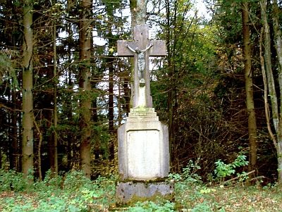 300 m
Wayside Shrines and Stations of the Cross
Kreuz an der Landstraße nach Kell
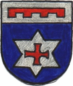 300 m
Coats of Arms
Wappen der Gemeinde Grimburg
Museums
Burg- und Hexenmuseum
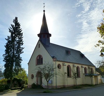 370 m
Catholic Churches
Sankt Medardus
Viewpoints
Aussichtspunkt Hasenkopf
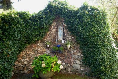 380 m
Marian Grottoes
Mariengrotte
 380 m
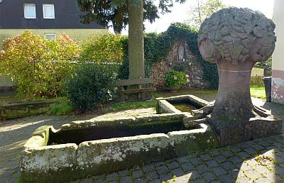
Fountains and Wells
Brunnen vor der Kirche
 430 m
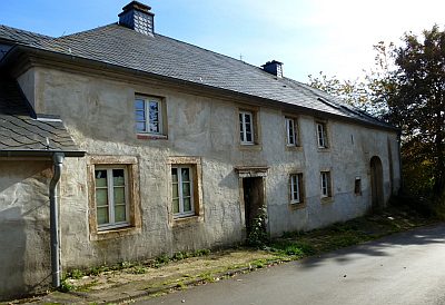
Farmhouses and Farm Buildings