Wayside Shrines and Stations of the Cross · Undated
Kreuz an der Landstraße nach Kell


Description
This description is only available in German.
Translate with Google opens this page in Google Translate (external service)
Aus Beton gefertigtes Kreuz mit einer rechteckigen Fläche am Schaft ohne Aufschrift. Diese Kreuz stand auf dem etwa 1932 angelegten Kirchhof und wurde nach dem 2. Weltkrieg entfernt und hierher versetzt. [1]
Classification
- Subject area
- Architectural and Art Monuments
- Category
- Religious Buildings
- Object type
- Wayside Shrines and Stations of the Cross
- Date
- Undatiert
- Period
- Undated
Location
- District
- Trier-Saarburg
- Collective municipality
- Hermeskeil
- Municipality
- Grimburg
- Field name
- Unter der Sägmühl
- Coordinates
- WGS 84: 49.621018, 6.875452 (Position: exact) WGS 84: 49° 37′ 15.7″ N, 6° 52′ 31.6″ E UTM 32 (ETRS89): E 346552 · N 5498663
Sources
Data sources
- [1] Aus dem Hochwald. Wegekreuze und Gedenksteine. Hrsg. Arbeitskreis Heimatkunde Bildungswerk Johanneshaus Hermeskeil. Hermeskeil 1991.
On the internet
Picture credits
Last edited: 18 Sep 2013 Object ID: 25332
https://kulturdb.de/en/objekt/25332-grimburg-kreuz-an-der-landstrasse-nach-kell
Nearby
The nearest objects
Mills
Ehemalige Sägemühle
Wayside Shrines and Stations of the Cross
Dorfkreuz
Viewpoints
Aussichtspunkt Hasenkopf
 570 m
Coats of Arms
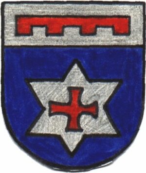
Wappen der Gemeinde Grimburg
Museums
Burg- und Hexenmuseum
Field Names
In den Murtenstücken
Field Names
Auf Lahborn
Field Names