Wayside Shrines and Stations of the Cross · Undated
Wegekreuz


Classification
- Subject area
- Architectural and Art Monuments
- Category
- Religious Buildings
- Object type
- Wayside Shrines and Stations of the Cross
- Date
- Undatiert
- Period
- Undated
Location
- District
- Vulkaneifel
- Collective municipality
- Gerolstein
- Town
- Hillesheim
- Locality / location
- Bolsdorf
- Field name
- Aufm Peschweg
- Coordinates
- WGS 84: 50.272482, 6.660719 (Position: exact) WGS 84: 50° 16′ 20.9″ N, 6° 39′ 38.6″ E UTM 32 (ETRS89): E 333308 · N 5571545
Sources
Data sources
- [1] Sandra Wack, Neuheilenbach, 2022.
On the internet
Picture credits
Last edited: 18 Feb 2023 Object ID: 25591
https://kulturdb.de/en/objekt/25591-hillesheim-wegekreuz
Nearby
The nearest objects
No picture
80 m
Field Names
Auf dem Hostert
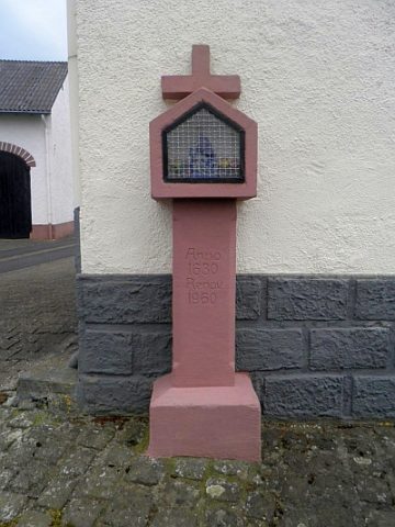 230 m
Wayside Shrines and Stations of the Cross
Wegekreuz
No picture
250 m
Field Names
Im Bornswieschen
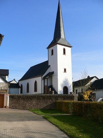 260 m
Catholic Churches
Sankt Margaretha
No picture
270 m
Wayside Shrines and Stations of the Cross
Wegekreuz am Friedhof
No picture
270 m
Wayside Shrines and Stations of the Cross
Pfeilerkreuz auf dem Friedhof
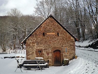 300 m
Farmhouses and Farm Buildings
Backhaus
No picture
300 m
Field Names