Field Names · Gothic
Auf Kreuzacker


© GeoBasis-DE / LVermGeoRP, dl-de/by-2-0
There is no picture of this object yet. Do you have a photo that you would like to make available to the Kulturdatenbank? Submit a picture
Description
This description is only available in German.
Translate with Google opens this page in Google Translate (external service)
Vergleiche 1289 Acker "juxt Crucem", Jungandreas, Historisches Ortslexikon: Kreuz 9. [1]
Classification
- Subject area
- History
- Category
- Field Names
- Date
- 1289
- Period
- Gothic
Location
- District
- Eifelkreis Bitburg-Prüm
- Collective municipality
- Bitburger Land
- Municipality
- Gindorf
- Field name
- Auf Kreuzacker
- Coordinates
- WGS 84: 50.005201, 6.647575 (Position: exact) WGS 84: 50° 00′ 18.7″ N, 6° 38′ 51.3″ E UTM 32 (ETRS89): E 331435 · N 5541861
Sources
Data sources
- [1] Karl E. Becker: Das Kyllburger Land. Kyllburg 1977. Hrsg. Verbandsgemeinde Kyllburg.
On the internet
Last edited: 14 Nov 2012 Object ID: 25605
https://kulturdb.de/en/objekt/25605-gindorf-auf-kreuzacker
Nearby
The nearest objects
 300 m
Washing Places
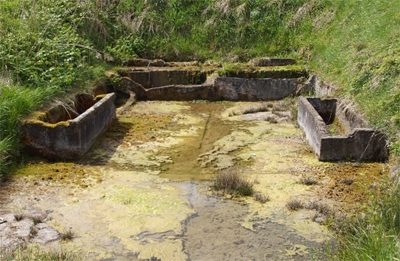
Waschhaus im Weilbachtal
Field Names
In den Strechen
Field Names
Eisenkopf
Wayside Shrines and Stations of the Cross
Wegekreuz
Extraction and Processing of Raw Materials
Eisenerzabbau am Eisenkopf
Field Names
Vor der Höhe
Field Names
Auf Eisenkopf
Field Names