Field Names · Undated
Husarenberg


© GeoBasis-DE / LVermGeoRP, dl-de/by-2-0
There is no picture of this object yet. Do you have a photo that you would like to make available to the Kulturdatenbank? Submit a picture
Description
This description is only available in German.
Translate with Google opens this page in Google Translate (external service)
Mundartlich Dusarenberg. Der Wald gehört noch dem Priesterhaus, früher Kloster Sankt Thomas. Nach der Säkularisation hat die früher zum Konvent gehörende Ottlie du Sartz de Vigneulle die Flur übernommen. [1]
Classification
- Subject area
- History
- Category
- Field Names
- Date
- Undatiert
- Period
- Undated
Location
- District
- Eifelkreis Bitburg-Prüm
- Collective municipality
- Bitburger Land
- Municipality
- Sankt Thomas
- Field name
- Husarenberg
- Coordinates
- WGS 84: 50.090050, 6.599971 (Position: exact) WGS 84: 50° 05′ 24.2″ N, 6° 35′ 59.9″ E UTM 32 (ETRS89): E 328327 · N 5551402
Sources
Data sources
- [1] Karl E. Becker: Das Kyllburger Land. Kyllburg 1977. Hrsg. Verbandsgemeinde Kyllburg.
On the internet
Last edited: 17 Nov 2012 Object ID: 25643
https://kulturdb.de/en/objekt/25643-sankt-thomas-husarenberg
Nearby
The nearest objects
Fossils
Fundstellen tierischer Versteinerungen
 350 m
Pilgrimage Sites
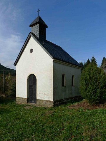
Wallfahrtskapelle
 370 m
Lime Trees
Linde am Hofgut Sankt Johann
 370 m
Wayside Shrines and Stations of the Cross
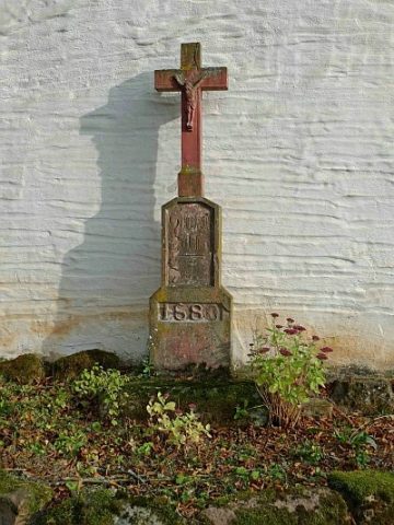
Kreuz am Hofgut Sankt Johann
 370 m
Farmhouses and Farm Buildings
Hofgut Sankt Johann
 390 m
Place Names / Local History
Ortsgeschichte Sankt Johann
Fossils
Fundstellen tierischer Versteinerungen
Fords