Place Names / Local History · Early Middle Ages / Romanesque
Ortsgeschichte Sankt Johann


Description
This description is only available in German.
Translate with Google opens this page in Google Translate (external service)
Die Wallfahrtskapelle im Ortsteil Sankt Johann, 2,5 Kilometer nördlich des Klosters Sankt Thomas, auf dem östlichen Kyllufer, wird bereits 1380 bezeugt. Von weither wallfahrtete man, insbesondere bei der sogenannten Tanzkrankheit. 1843 hatte Sankt Johann zwei Häuser mit zusammen 16 Einwohnern. Die jetzige Kapelle wurde 1953 erbaut. Die Gemeinde Sankt Thomas zieht alljährlich am tag, dem 24. Juni, in einer Fußwallfahrt durch den Wald zur Johanneskapelle und feiert dort einen Gottesdienst. Das Johannesgut gehörte früher zum Eigentum der Burg Seinsfeld.
Classification
- Subject area
- History
- Category
- Place Names / Local History
- Date
- 973
Location
- District
- Eifelkreis Bitburg-Prüm
- Collective municipality
- Bitburger Land
- Municipality
- Sankt Thomas
- Locality / location
- Sankt Johann
- Field name
- Ortslage
- Coordinates
- WGS 84: 50.090527, 6.605430 (Position: within the village) WGS 84: 50° 05′ 25.9″ N, 6° 36′ 19.5″ E UTM 32 (ETRS89): E 328719 · N 5551442
Sources
Data sources
On the internet
bitburgerland.de/index.php?id=1650
Picture credits
Last edited: 25 Oct 2009 Object ID: 3785
https://kulturdb.de/en/objekt/3785-sankt-thomas-ortsgeschichte-sankt-johann
Nearby
The nearest objects
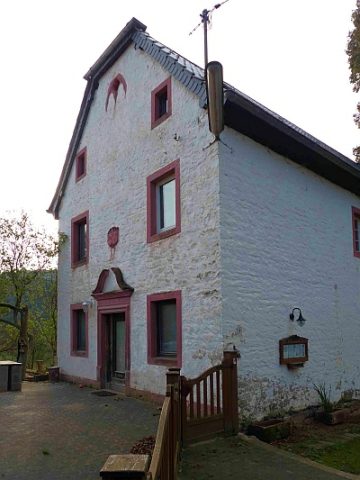 20 m
Farmhouses and Farm Buildings
Hofgut Sankt Johann
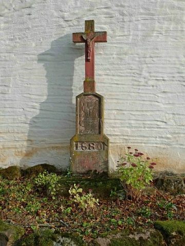 30 m
Wayside Shrines and Stations of the Cross
Kreuz am Hofgut Sankt Johann
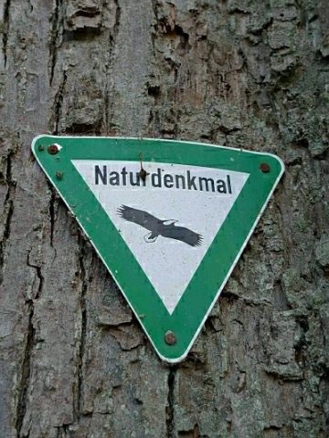 30 m
Lime Trees
Linde am Hofgut Sankt Johann
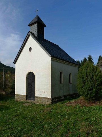 50 m
Pilgrimage Sites
Wallfahrtskapelle
Fossils
Fundstellen tierischer Versteinerungen
Fossils
Fundstellen tierischer Versteinerungen
Field Names
Husarenberg
Fords