Wayside Shrines and Stations of the Cross · Baroque / Rococo
Wegekreuz
- Listed monument


Description
This description is only available in German.
Translate with Google opens this page in Google Translate (external service)
Sockelkreuz, Rotsandstein, bezeichnet 1758; möglicherweise ehemaliges Grabkreuz. [1]
Classification
- Subject area
- Architectural and Art Monuments
- Category
- Religious Buildings
- Object type
- Wayside Shrines and Stations of the Cross
- Date
- 1758
- Period
- Baroque / Rococo
Location
- District
- Vulkaneifel
- Collective municipality
- Gerolstein
- Municipality
- Jünkerath
- Street
- Ecke Glaadter Straße / Am Glaadtbach
- Field name
- In Bänden
- Coordinates
- WGS 84: 50.351497, 6.567708 (Position: exact) WGS 84: 50° 21′ 05.4″ N, 6° 34′ 03.7″ E UTM 32 (ETRS89): E 326969 · N 5580542
Sources
Data sources
- [1] Denkmalliste der Generaldirektion Kulturelles Erbe, Rheinland-Pfalz; 2010.
On the internet
Picture credits
Last edited: 2 Dec 2012 Object ID: 25810
https://kulturdb.de/en/objekt/25810-juenkerath-wegekreuz
Nearby
The nearest objects
 80 m
Jewish Cemeteries
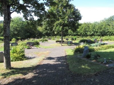
Ehemaliger Jüdischer Friedhof
No picture
100 m
Farmhouses and Farm Buildings
Trierer Haus
 120 m
Monuments
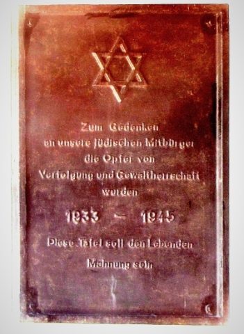
Jüdische Gedenktafel in der Friedhofshalle
No picture
160 m
Field Names
Kirchenberg
No picture
210 m
Farmhouses and Farm Buildings
Trierer Haus
No picture
210 m
Farmhouses and Farm Buildings
Wohngebäude mit Ökonomieteil
No picture
220 m
Catholic Churches
Heilige Kreuzauffindung
No picture
240 m
Burial Sites