Wayside Shrines and Stations of the Cross · Undated
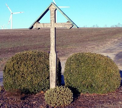
Wegekreuz


Description
This description is only available in German.
Translate with Google opens this page in Google Translate (external service)
An der Grenze Trier / Hockweiler, neben der K 10, gelegen.
Inschrift am Sockel:
MATTHIAS THEES
+ 8.2.1844 [1]
Classification
- Subject area
- Architectural and Art Monuments
- Category
- Religious Buildings
- Object type
- Wayside Shrines and Stations of the Cross
- Date
- Undatiert
- Period
- Undated
Location
- District
- City of Trier
- Collective municipality
- Verbandsfreie Gemeinde Trier
- Town
- Trier
- Locality / location
- Irsch
- Field name
- Auf Kuhtränk
- Coordinates
- WGS 84: 49.710880, 6.691950 (Position: exact) WGS 84: 49° 42′ 39.2″ N, 6° 41′ 31.0″ E UTM 32 (ETRS89): E 333606 · N 5509043
Sources
Data sources
- [1] Michael Grün, Trier, 2021.
On the internet
de.wikipedia.org/wiki/Trier-Irsch
Picture credits
Last edited: 14 May 2021 Object ID: 25879
https://kulturdb.de/en/objekt/25879-trier-wegekreuz
Nearby
The nearest objects
Field Names
Langfuhr
Field Names
Ober Gruf
Field Names
Am Kniebrecher
 760 m
Wayside Shrines and Stations of the Cross
Wegekreuz
Field Names
Auf Grufhüwel
Place Names / Local History
Erste Erwähnung als Hockweiler
 860 m
Coats of Arms
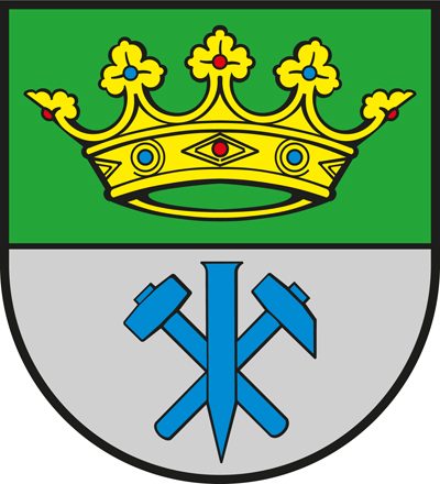
Wappen der Gemeinde Hockweiler
Vineyard Sites