Wayside Shrines and Stations of the Cross · Undated
Wegekreuz am Sportplatz
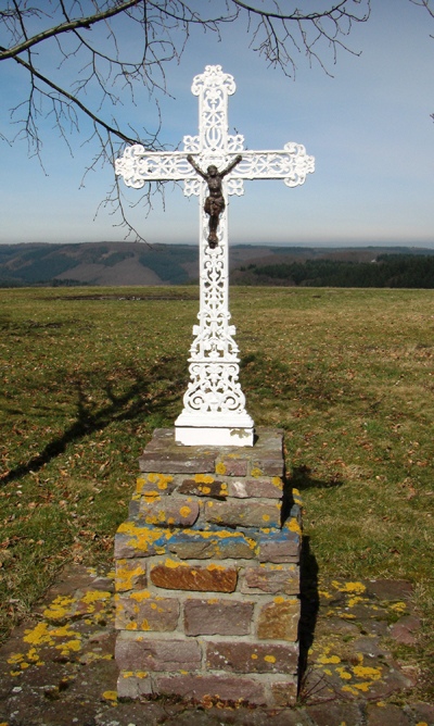
Description
This description is only available in German.
Translate with Google opens this page in Google Translate (external service)
Auf Höhenpunkt 458.7Meter über NHN.
Classification
- Subject area
- Architectural and Art Monuments
- Category
- Religious Buildings
- Object type
- Wayside Shrines and Stations of the Cross
- Date
- Undatiert
- Period
- Undated
Location
- District
- Bernkastel-Wittlich
- Collective municipality
- Thalfang am Erbeskopf
- Municipality
- Schönberg
- Field name
- Ortslage
- Coordinates
- WGS 84: 49.755742, 6.918270 (Position: exact) WGS 84: 49° 45′ 20.7″ N, 6° 55′ 05.8″ E UTM 32 (ETRS89): E 350059 · N 5513553
Sources
Data sources
- GeoPortal des Landes Rheinland-Pfalz. http://www.geoportal.rlp.de/
On the internet
erbeskopf.de/verwaltung-politik/ortsgemeinden/schoenberg.html
Picture credits
- Picture 1: © Wolfgang Welter, Schweich, 2024.
Last edited: 30 Apr 2024 Object ID: 25881
https://kulturdb.de/en/objekt/25881-schoenberg-wegekreuz-am-sportplatz
Nearby
The nearest objects
No picture
130 m
Field Names
Hinter dem Flachsfeld
No picture
250 m
Wayside Shrines and Stations of the Cross
Wegekreuz
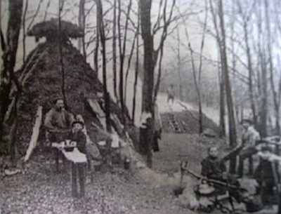 510 m
Charcoal Kilns
Ehemaliger Meilerplatz
No picture
520 m
Field Names
Hinter dem Holländer
530 m
Charcoal Kilns
Ehemaliger Meilerplatz
560 m
Charcoal Kilns
Ehemaliger Meilerplatz
570 m
Charcoal Kilns
Ehemaliger Meilerplatz
590 m
Charcoal Kilns