Field Names · Undated
Hinter dem Flachsfeld


© GeoBasis-DE / LVermGeoRP, dl-de/by-2-0
There is no picture of this object yet. Do you have a photo that you would like to make available to the Kulturdatenbank? Submit a picture
Description
This description is only available in German.
Translate with Google opens this page in Google Translate (external service)
Flachs – Zu althochdeutsch flahs, mittelhochdeutsch vlahs starkes Maskulinum ‚Flachs‘. Die Namen erinnern an den heute aufgegebenen Flachsanbau. [1]
Flachs – ist eine Pflanze, aus der früher Stoffe hergestellt wurden. Heute wird sie kaum noch angepflanzt. In Flurnamen kommt das Wort jedoch
noch häufig vor und zeigt uns damit, wo der Flachs früher angebaut wurde. [2]
Classification
- Subject area
- History
- Category
- Field Names
- Date
- Undatiert
- Period
- Undated
Location
- District
- Bernkastel-Wittlich
- Collective municipality
- Thalfang am Erbeskopf
- Municipality
- Schönberg
- Field name
- Hinter dem Flachsfeld
- Coordinates
- WGS 84: 49.754717, 6.919198 (Position: exact) WGS 84: 49° 45′ 17.0″ N, 6° 55′ 09.1″ E UTM 32 (ETRS89): E 350123 · N 5513437
Sources
Data sources
- [1] Südhessisches Flurnamenbuch, 2015. http://www.lagis-hessen.de/de/subjects/gsrec/id/988/current/1/sn/sh…
- [2] Flurnamenlexikon Baden-Württemberg, 2015. http://www.gottenheim.de/Winzergenossenschaft/Gewanne/bw_flurnamenl…
On the internet
erbeskopf.de/verwaltung-politik/ortsgemeinden/schoenberg.html
Last edited: 9 Jan 2015 Object ID: 36079
https://kulturdb.de/en/objekt/36079-schoenberg-hinter-dem-flachsfeld
Nearby
The nearest objects
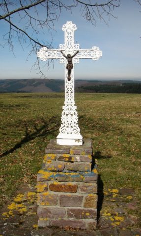 130 m
Wayside Shrines and Stations of the Cross
Wegekreuz am Sportplatz
Wayside Shrines and Stations of the Cross
Wegekreuz
 440 m
Charcoal Kilns
Ehemaliger Meilerplatz
480 m
Charcoal Kilns
Ehemaliger Meilerplatz
Field Names
Hinter dem Holländer
500 m
Charcoal Kilns
Ehemaliger Meilerplatz
520 m
Charcoal Kilns
Ehemaliger Meilerplatz
530 m
Charcoal Kilns