Cross-Ridge Ramparts · Celtic / Roman Period
Wallanlage
- Listed monument


© GeoBasis-DE / LVermGeoRP, dl-de/by-2-0
There is no picture of this object yet. Do you have a photo that you would like to make available to the Kulturdatenbank? Submit a picture
Description
This description is only available in German.
Translate with Google opens this page in Google Translate (external service)
Fundstelle 818
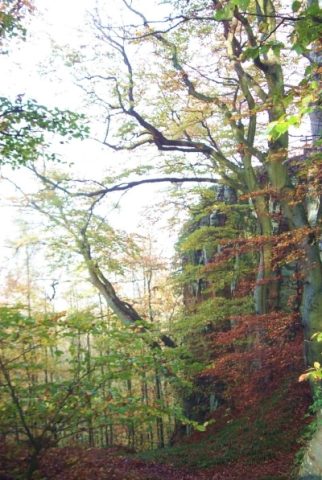
Kleine halbkreisförmige Wallanlage nördlich der mittelalterlichen Ruine Prümerburg. Die Westseite wird durch eine natürliche, 25 m hohe Felswand geschützt. Die Zeitstellung der Anlage ist nicht bekannt.
Koch u. Schindler 1994, 66; Steinhausen 1932, 260
in: Römisch-Germanische Forschungen, Bd. 63. Eisenzeitlicher Kulturwandel und Romanisierung im Mosel-Eifel-Raum. Die keltisch-römische Siedlung von Wallendorf und ihr archäologisches Umfeld. Römisch-Germanische Kommission des Deutschen Archäologischen Instituts Frankfurt a. M. Fundstellenkatalog von: Dirk L. Krausse unter Mitarbeit von Antje Fischbock. 2006.
Classification
- Subject area
- Archaeological Monuments
- Object type
- Cross-Ridge Ramparts
- Date
- Circa 500 vor Chr. bis circa 500 nach Chr.
- Period
- Celtic / Roman Period
Location
- District
- Eifelkreis Bitburg-Prüm
- Collective municipality
- Südeifel
- Municipality
- Prümzurlay
- Field name
- Prümerburg
- Coordinates
- WGS 84: 49.869981, 6.443036 (Position: exact) WGS 84: 49° 52′ 11.9″ N, 6° 26′ 34.9″ E UTM 32 (ETRS89): E 316266 · N 5527310
Sources
Data sources
- - Fundstellenkatalog: Die keltisch-römische Siedlung von Wallendorf und ihr archäologisches Umfeld. Dirk L. Krausse unter Mitarbeit von Antje Fischbock, 2006.
- - Dirk Krausse: Eisenzeitlicher Kulturwandel und Romanisierung im Mosel-Eifel-Raum. Verlag: Philipp von Zabern, Mainz, 2006. Beilage 1.
On the internet
Last edited: 24 Dec 2012 Object ID: 25905
https://kulturdb.de/en/objekt/25905-pruemzurlay-wallanlage
Nearby
The nearest objects
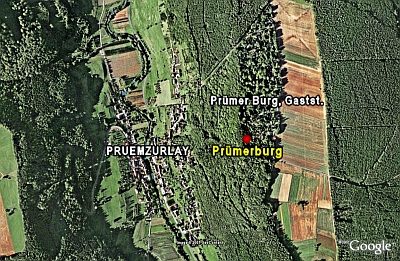 60 m
Ridge-Edge Castles
Prümerburg
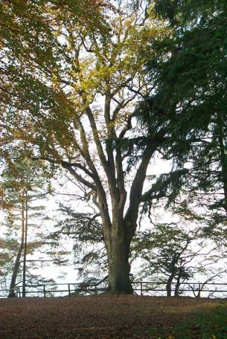 120 m
Beeches
Buche und Eiche bei der Prümerburg
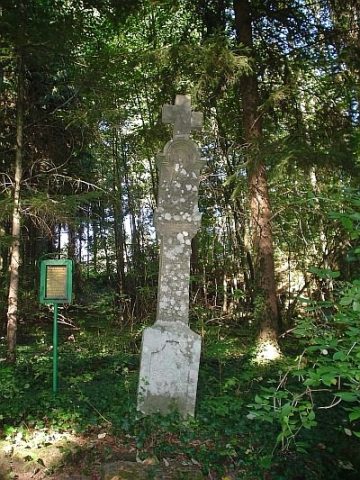 140 m
Wayside Shrines and Stations of the Cross
Graulkreuz
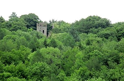 180 m
Castles
Burgruine Prümzurlay
180 m
Castles
Burgruine Prümerburg
Field Names
Im Kirchberg
Springs
Quelle Burgbrunnen
 380 m
Viewpoints