Viewpoints · Undated
Aussichtspunkt Ruine Prümerburg


Description
This description is only available in German.
Translate with Google opens this page in Google Translate (external service)
Siehe auch den Datensatz Prümzurlay - Burgruine Prümer Burg (Wüstung).
Classification
- Subject area
- Natural Features
- Category
- Viewpoints
- Date
- Undatiert
- Period
- Undated
Location
- District
- Eifelkreis Bitburg-Prüm
- Collective municipality
- Südeifel
- Municipality
- Prümzurlay
- Field name
- Unter der Gaislay
- Coordinates
- WGS 84: 49.866805, 6.445059 (Position: exact) WGS 84: 49° 52′ 00.5″ N, 6° 26′ 42.2″ E UTM 32 (ETRS89): E 316400 · N 5526952
Sources
Data sources
- [1] Wanderkarten im Maßstab 1:50.000 und 1:25.000
On the internet
de.wikipedia.org/wiki/Pr%C3%BCmzurlay
Picture credits
Last edited: 23 Jun 2013 Object ID: 4335
https://kulturdb.de/en/objekt/4335-pruemzurlay-aussichtspunkt-ruine-pruemerburg
Nearby
The nearest objects
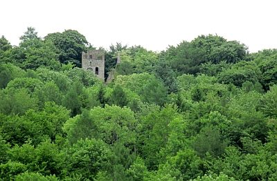 210 m
Castles
Burgruine Prümzurlay
210 m
Castles
Burgruine Prümerburg
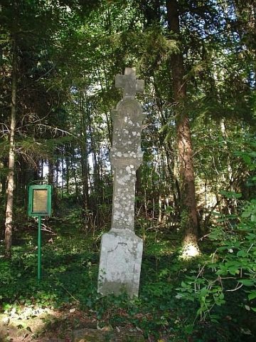 240 m
Wayside Shrines and Stations of the Cross
Graulkreuz
No picture
240 m
Springs
Quelle Burgbrunnen
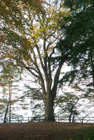 270 m
Beeches
Buche und Eiche bei der Prümerburg
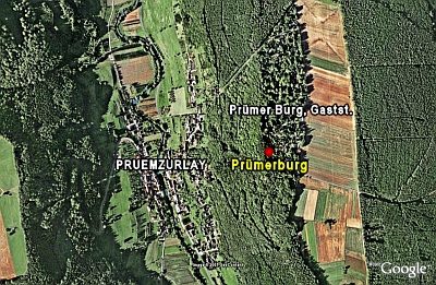 330 m
Ridge-Edge Castles
Prümerburg
No picture
380 m
Cross-Ridge Ramparts
Wallanlage
No picture
440 m
Lime Kilns