Market Towns · Neoclassicism
Marktort Rockeskyll


Description
This description is only available in German.
Translate with Google opens this page in Google Translate (external service)
Classification
- Subject area
- History
- Category
- Economy, Trade and Transport
- Object type
- Market Towns
- Date
- 1846
- Period
- Neoclassicism
Location
- District
- Vulkaneifel
- Collective municipality
- Gerolstein
- Municipality
- Rockeskyll
- Field name
- Auf dem Markt
- Coordinates
- WGS 84: 50.254080, 6.695800 (Position: within the village) WGS 84: 50° 15′ 14.7″ N, 6° 41′ 44.9″ E UTM 32 (ETRS89): E 335745 · N 5569421
Sources
Data sources
- [1] Georg Bärsch: Beschreibung des Regierungsbezirks Trier, 1. Theil, 1849.
- [2] Eifelkalender von 1926, Hrsg. Eifelverein. http://www.dilibri.de/ubtr/periodical/titleinfo/199065?query=Eifelk…
On the internet
Picture credits
Last edited: 26 Oct 2017 Object ID: 25931
https://kulturdb.de/en/objekt/25931-rockeskyll-marktort-rockeskyll
Nearby
The nearest objects
No picture
60 m
Farmhouses and Farm Buildings
Trierer Haus
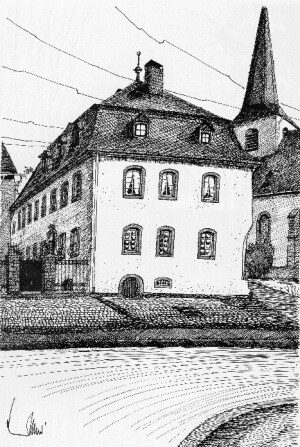 70 m
Place Names / Local History
Ortsgeschichte Rockeskyll
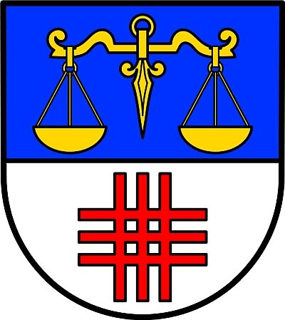 70 m
Coats of Arms
Wappen der Gemeinde Rockeskyll
No picture
70 m
Farmhouses and Farm Buildings
Herrenhaus
No picture
80 m
Farmhouses and Farm Buildings
Wohnhaus
No picture
80 m
Wayside Shrines and Stations of the Cross
Missionskreuz
No picture
80 m
Farmhouses and Farm Buildings
Trierer Haus
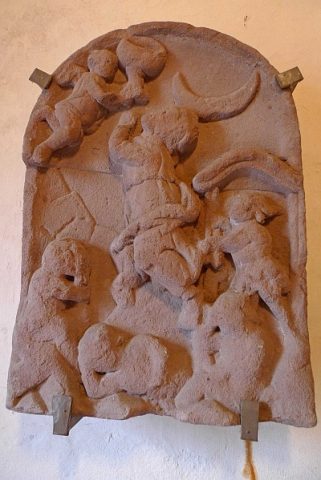 90 m
Wayside Shrines and Stations of the Cross