Extraction and Processing of Raw Materials · Historicism / Art Nouveau
Ehemaliger Steinbruch


© GeoBasis-DE / LVermGeoRP, dl-de/by-2-0
There is no picture of this object yet. Do you have a photo that you would like to make available to the Kulturdatenbank? Submit a picture
Description
This description is only available in German.
Translate with Google opens this page in Google Translate (external service)
Kleine Felswand, die früher wohl einmal als Steinbruch genutzt wurde. [1]
Classification
- Subject area
- Architectural and Art Monuments
- Category
- Economy, Trade and Transport
- Object type
- Extraction and Processing of Raw Materials
- Date
- 1908
Location
- District
- Trier-Saarburg
- Collective municipality
- Konz
- Municipality
- Oberbillig
- Field name
- Aufm Berg
- Coordinates
- WGS 84: 49.704062, 6.503488 (Position: exact) WGS 84: 49° 42′ 14.6″ N, 6° 30′ 12.6″ E UTM 32 (ETRS89): E 319996 · N 5508720
Sources
Data sources
- [1] Boris Ruth (Oberbillig), 2012.
- [2] Topographische Karte von 1908.
On the internet
Last edited: 1 Jan 2013 Object ID: 25993
https://kulturdb.de/en/objekt/25993-oberbillig-ehemaliger-steinbruch
Nearby
The nearest objects
Extraction and Processing of Raw Materials
Ehemaliger Steinbruch
 130 m
Wayside Shrines and Stations of the Cross
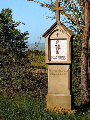
Kreuzweganlage zur Rochuskapelle - 10. Station
Extraction and Processing of Raw Materials
Ehemaliger Steinbruch
 140 m
Wayside Shrines and Stations of the Cross
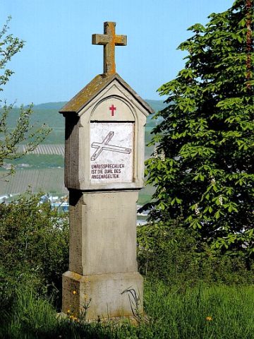
Kreuzweganlage zur Rochuskapelle - 11. Station
 140 m
Wayside Shrines and Stations of the Cross
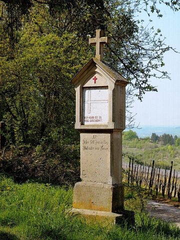
Kreuzweganlage zur Rochuskapelle - 9. Station
Extraction and Processing of Raw Materials
Ehemaliger Steinbruch
 170 m
Wayside Shrines and Stations of the Cross
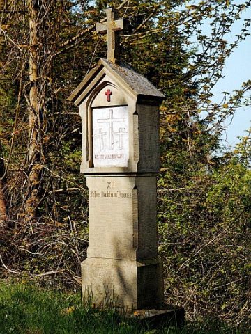
Kreuzweganlage zur Rochuskapelle - 12. Station
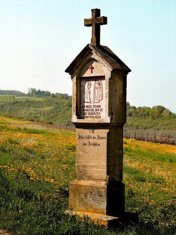 190 m
Wayside Shrines and Stations of the Cross