Wayside Shrines and Stations of the Cross · Baroque / Rococo
Schaftkreuz
- Listed monument


Description
This description is only available in German.
Translate with Google opens this page in Google Translate (external service)
Nordöstlich der Ortslage am Weg nach Hardt.
Classification
- Subject area
- Architectural and Art Monuments
- Category
- Religious Buildings
- Object type
- Wayside Shrines and Stations of the Cross
- Date
- 1758
- Period
- Baroque / Rococo
Location
- District
- Vulkaneifel
- Collective municipality
- Gerolstein
- Municipality
- Mürlenbach
- Field name
- Hinter Schmittsberg
- Coordinates
- WGS 84: 50.155686, 6.609112 (Position: exact) WGS 84: 50° 09′ 20.5″ N, 6° 36′ 32.8″ E UTM 32 (ETRS89): E 329215 · N 5558677
Sources
Data sources
- [1] Denkmalliste des Landes Rheinland-Pfalz (Stand: 3. Januar 2013).
On the internet
Picture credits
- Picture 1: © Sandra Wack, Neuheilenbach, 2016. www.koerbchen-gesucht.de
- Picture 2: © Sandra Wack, Neuheilenbach, 2016. www.koerbchen-gesucht.de
- Picture 3: © Sandra Wack, Neuheilenbach, 2016. www.koerbchen-gesucht.de
- Picture 4: © Sandra Wack, Neuheilenbach, 2016. www.koerbchen-gesucht.de
- Picture 5: © Sandra Wack, Neuheilenbach, 2016. www.koerbchen-gesucht.de
- Picture 6: © Sandra Wack, Neuheilenbach, 2016. www.koerbchen-gesucht.de
Last edited: 4 May 2016 Object ID: 26003
https://kulturdb.de/en/objekt/26003-muerlenbach-schaftkreuz
Nearby
The nearest objects
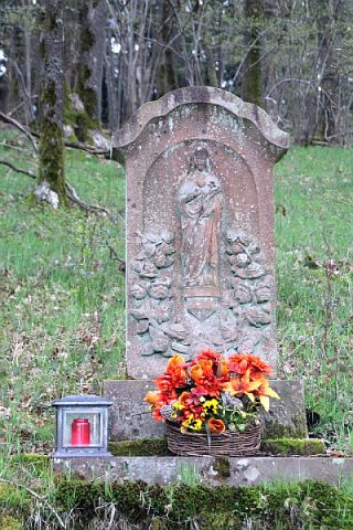 150 m
Wayside Shrines and Stations of the Cross
Wegebild
No picture
190 m
Cremation Graves
Spätrömisches Brandgrab
No picture
320 m
Field Names
Auf der Acht
No picture
330 m
Field Names
Im Kirchenberg
No picture
390 m
Monastic Complexes
Ehemaliges Kloster
No picture
430 m
Field Names
Vorn in Kyllheld
No picture
480 m
Field Names
In der Kyllheld
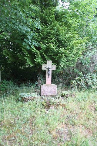 670 m
Wayside Shrines and Stations of the Cross