Wayside Shrines and Stations of the Cross · Renaissance
Wegekreuz


Description
This description is only available in German.
Translate with Google opens this page in Google Translate (external service)
Bildstock aus Sandstein, verwittert. 2-stufiger Sockel, in der Mitte Jahreszahl 1609 und Ornament/Siegel (? nicht mehr erkennbar) eingemeißelt. Abschluß bildet eine weibliche Figur/Heilige (?). [1]
Classification
- Subject area
- Architectural and Art Monuments
- Category
- Religious Buildings
- Object type
- Wayside Shrines and Stations of the Cross
- Date
- 1609
- Period
- Renaissance
Location
- District
- Bernkastel-Wittlich
- Collective municipality
- Traben-Trarbach
- Municipality
- Bengel
- Field name
- Springiersbacher Wald
- Coordinates
- WGS 84: 50.027918, 7.054796 (Position: exact) WGS 84: 50° 01′ 40.5″ N, 7° 03′ 17.3″ E UTM 32 (ETRS89): E 360678 · N 5543548
Sources
Data sources
- [1] Michael Grün, Trier, 2020.
On the internet
Picture credits
Last edited: 21 Sep 2020 Object ID: 26128
https://kulturdb.de/en/objekt/26128-bengel-wegekreuz
Nearby
The nearest objects
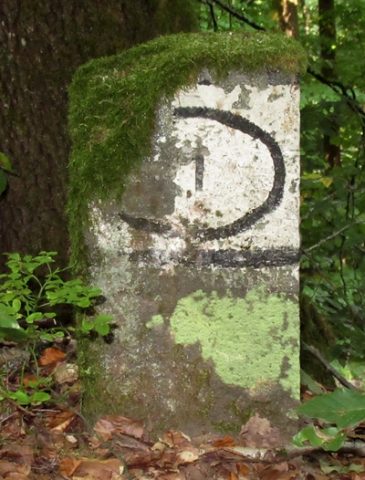 120 m
Surveying
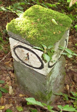
Grenzstein im Springiersbacher Wald
 240 m
Field Names
Thiergarten
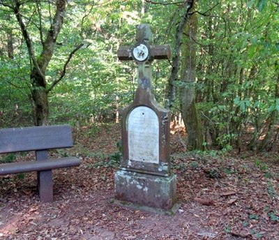 330 m
Wayside Shrines and Stations of the Cross
Wegekreuz
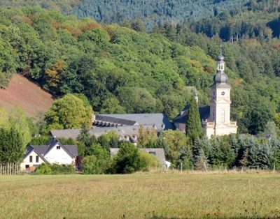 340 m
Viewpoints
Aussichtspunkt
 360 m
Surveying
Grenzstein im Springiersbacher Wald
Field Names
Im Honigsack
 690 m
Settlements
Römische Siedlungsstelle
Field Names