Surveying · Undated
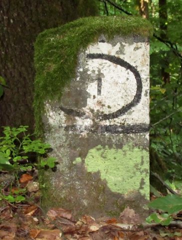
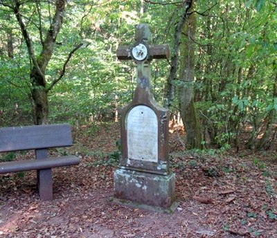
Grenzstein im Springiersbacher Wald


Description
This description is only available in German.
Translate with Google opens this page in Google Translate (external service)
Grenzstein mit Nummern 1 und 2 (Forstbezirke) bezeichnet. [1]
Classification
- Subject area
- Architectural and Art Monuments
- Category
- Markers and Monuments
- Object type
- Surveying
- Date
- Undatiert
- Period
- Undated
Location
- District
- Bernkastel-Wittlich
- Collective municipality
- Traben-Trarbach
- Municipality
- Bengel
- Field name
- Springiersbacher Wald
- Coordinates
- WGS 84: 50.030075, 7.051015 (Position: exact) WGS 84: 50° 01′ 48.3″ N, 7° 03′ 03.7″ E UTM 32 (ETRS89): E 360414 · N 5543794
Sources
Data sources
- [1] Michael Grün, Trier, 2020.
On the internet
Picture credits
Last edited: 16 Sep 2020 Object ID: 49938
https://kulturdb.de/en/objekt/49938-bengel-grenzstein-im-springiersbacher-wald
Nearby
The nearest objects
No picture
290 m
Deserted Settlements
Wüstung Neuenhof
 310 m
Surveying
Grenzstein im Springiersbacher Wald
 360 m
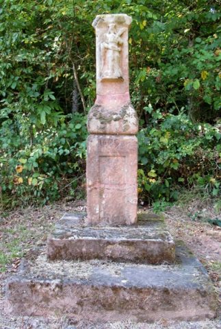
Wayside Shrines and Stations of the Cross
Wegekreuz
 550 m
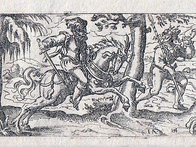
Field Names
Thiergarten
 580 m
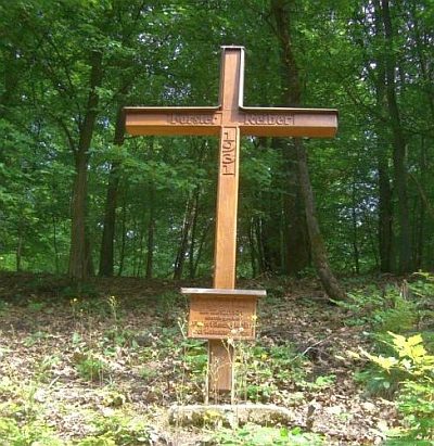
Wayside Shrines and Stations of the Cross
Sogenanntes Reiberkreuz
No picture
630 m
Field Names
Im Honigsack
 690 m
Wayside Shrines and Stations of the Cross
Wegekreuz
No picture
860 m
Field Names