Wayside Shrines and Stations of the Cross · Undated
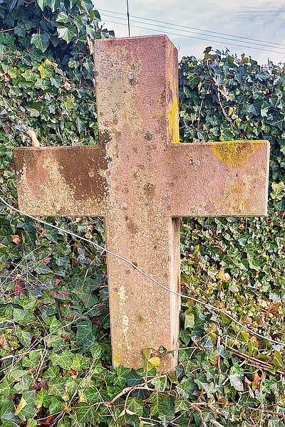
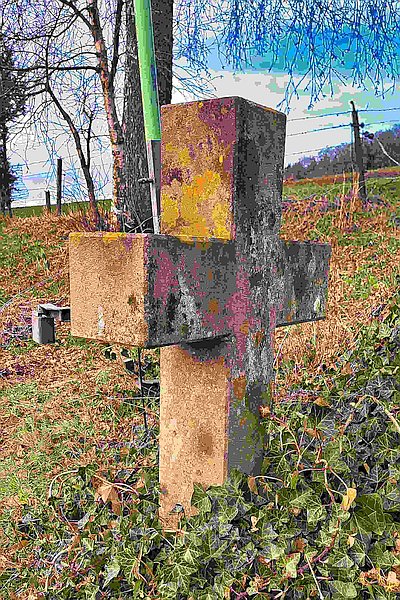
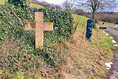
Wegekreuz am Schullandheim
Classification
- Subject area
- Architectural and Art Monuments
- Category
- Religious Buildings
- Object type
- Wayside Shrines and Stations of the Cross
- Date
- Undatiert
- Period
- Undated
Location
- District
- Vulkaneifel
- Town
- Gerolstein
- Locality / location
- Müllenborn
- Field name
- Unter Himberg
- Coordinates
- WGS 84: 50.245897, 6.614502 (Position: exact) WGS 84: 50° 14′ 45.2″ N, 6° 36′ 52.2″ E UTM 32 (ETRS89): E 329921 · N 5568694
Sources
Data sources
- [1] Sandra Wack, Neuheilenbach, 2026.
On the internet
Picture credits
Last edited: 10 Mar 2026 Object ID: 26464
https://kulturdb.de/en/objekt/26464-gerolstein-wegekreuz-am-schullandheim
Nearby
The nearest objects
No picture
190 m
Extraction and Processing of Raw Materials
Römische Mahl-/Mühlsteingewinnung
No picture
310 m
Extraction and Processing of Raw Materials
Mühlsteinbruch am Rother Kopf (Hiemerich)
 320 m
Volcanoes
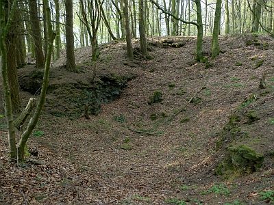
Vulkan Rother Kopf
No picture
350 m
Caves
Drachen- oder Backofenhöhle
No picture
380 m
Chapels
Kapelle
No picture
380 m
Wayside Shrines and Stations of the Cross
Wegekreuz
No picture
410 m
Field Names
Auf der Steinrausch
 420 m
Caves