Mills · Renaissance
Ehemalige oberste Mühle

Description
This description is only available in German.
Translate with Google opens this page in Google Translate (external service)
In den Kellereirechnungen von 1774 wird eine Einnahme von der neu erbauten Mühle in Kirchweiler verzeichnet. Vermutlich bestand schon viel früher eine Mühle; darauf weist auch die Flurbezeichnung "Auf der alten Mühle" ca. 100 m oberhalb der "obersten Mühle" hin. 1826 gab es in Kirchweiler zwei Mühlen, die "Oberste und die Unterste Mühle", die beide aus der Klingelbornquelle, dem Kirchweiler Bach gespeist wurden. [1]
Obere Kirchweiler Mühle, die bis in die 1960er Jahre noch von Josef Schmitz betrieben wurde. Später hat Josef Schmitz nur noch Landwirtschaft betrieben, wie das Foto ja zeigt. [2]
Classification
- Subject area
- Architectural and Art Monuments
- Object type
- Mills
- Date
- Circa 1500 bis circa 1700
- Period
- Renaissance
Location
- District
- Vulkaneifel
- Collective municipality
- Daun
- Municipality
- Kirchweiler
- Field name
- Die oberste Mühle
- Coordinates
- WGS 84: 50.229543, 6.748126 (Position: exact) WGS 84: 50° 13′ 46.4″ N, 6° 44′ 53.3″ E UTM 32 (ETRS89): E 339392 · N 5566579
Sources
Data sources
- [1] Website der Ortsgemeinde Kirchweiler.
- [2] Friedbert Wißkirchen, Daun, 2013.
- [3] Tranchot-Karte 1803-1820.
On the internet
Picture credits
- Picture 1: Sammlung Norbert Kappes, 2013.
Last edited: 10 Nov 2013 Object ID: 26504
https://kulturdb.de/en/objekt/26504-kirchweiler-ehemalige-oberste-muehle
Nearby
The nearest objects
 100 m
Wayside Shrines and Stations of the Cross
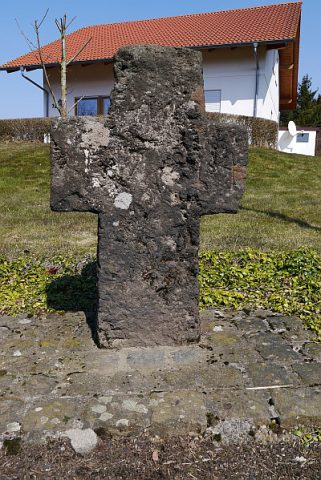
Basaltkreuz
Mills
Ehemalige Mühle
Washing Places
Ehemaliger Bleichplatz für Wäsche
Wayside Shrines and Stations of the Cross
Wegekreuz
Wayside Shrines and Stations of the Cross
Wegekreuz
Field Names
Im Klingelborn
 270 m
Volcanoes
Vulkan Das Beuel
280 m
Wayside Shrines and Stations of the Cross