Mills · Neoclassicism
Ehemalige unterste Mühle


© GeoBasis-DE / LVermGeoRP, dl-de/by-2-0
There is no picture of this object yet. Do you have a photo that you would like to make available to the Kulturdatenbank? Submit a picture
Description
This description is only available in German.
Translate with Google opens this page in Google Translate (external service)
In den Kellereirechnungen von 1774 wird eine Einnahme von der neu erbauten Mühle in Kirchweiler verzeichnet. Vermutlich bestand schon viel früher eine Mühle; darauf weist auch die Flurbezeichnung "Auf der alten Mühle" ca. 100 m oberhalb der "obersten Mühle" hin. 1826 gab es in Kirchweiler zwei Mühlen, die "Oberste und die Unterste Mühle", die beide aus der Klingelbornquelle, dem Kirchweiler Bach gespeist wurden. [1]
Classification
- Subject area
- Architectural and Art Monuments
- Object type
- Mills
- Date
- 1826
- Period
- Neoclassicism
Location
- District
- Vulkaneifel
- Collective municipality
- Daun
- Municipality
- Kirchweiler
- Street
- Weidenpesch
- Field name
- Die unterste Mühle
- Coordinates
- WGS 84: 50.229798, 6.742168 (Position: exact) WGS 84: 50° 13′ 47.3″ N, 6° 44′ 31.8″ E UTM 32 (ETRS89): E 338968 · N 5566620
Sources
Data sources
- [1] Website der Ortsgemeinde Kirchweiler.
- [2] Tranchot-Karte 1803-1820.
On the internet
Last edited: 24 Mar 2013 Object ID: 26505
https://kulturdb.de/en/objekt/26505-kirchweiler-ehemalige-unterste-muehle
Nearby
The nearest objects
Farmhouses and Farm Buildings
Trierer Haus
 130 m
Farmhouses and Farm Buildings
Trierer Haus
 150 m
Wayside Shrines and Stations of the Cross
Priesterkreuz Matthias Kremer
 160 m
Catholic Churches
Sankt Peter
 170 m
Place Names / Local History
Geschichte
 180 m
Wayside Shrines and Stations of the Cross
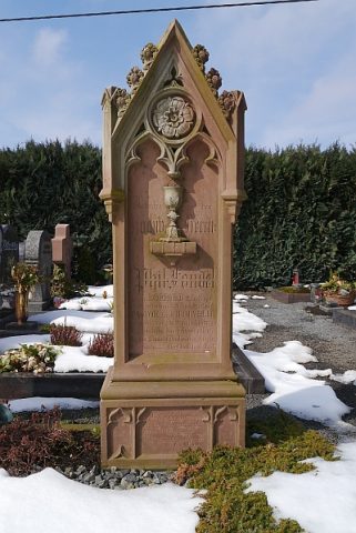
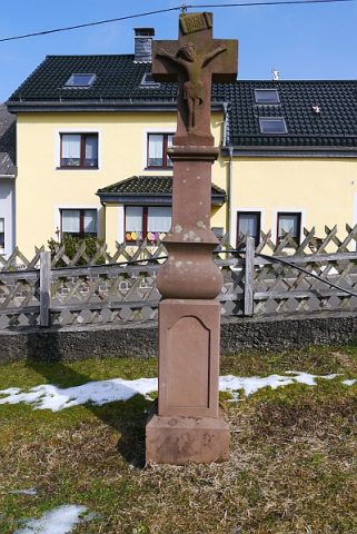
Priesterkreuz Philipp Fandel
 190 m
War Memorials
Friedhofskreuz
Farmhouses and Farm Buildings