Wayside Shrine Houses · Undated
Heiligenhäuschen


Classification
- Subject area
- Architectural and Art Monuments
- Category
- Religious Buildings
- Object type
- Wayside Shrine Houses
- Date
- Undatiert
- Period
- Undated
Location
- District
- Trier-Saarburg
- Collective municipality
- Ruwer
- Municipality
- Gusterath
- Street
- Gartenstraße 56
- Field name
- Ortslage
- Coordinates
- WGS 84: 49.698935, 6.711364 (Position: exact) WGS 84: 49° 41′ 56.2″ N, 6° 42′ 40.9″ E UTM 32 (ETRS89): E 334965 · N 5507672
Sources
Data sources
- [1] Michael Grün, Trier, 2019.
On the internet
Picture credits
Last edited: 13 Mar 2019 Object ID: 26745
https://kulturdb.de/en/objekt/26745-gusterath-heiligenhaeuschen
Nearby
The nearest objects
No picture
130 m
Field Names
Dörrwiesen
No picture
170 m
Field Names
Sauerwiesen
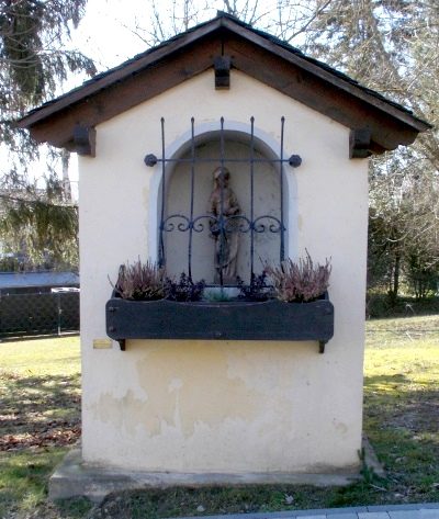 230 m
Wayside Shrine Houses
Heiligenhäuschen
No picture
260 m
Catholic Churches
Sankt Martin
No picture
260 m
Field Names
Auf Laßborn
No picture
290 m
Field Names
Ober dem Lassborn
No picture
320 m
Wayside Shrines and Stations of the Cross
Wegekreuz
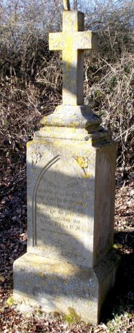 330 m
War Memorials