Wayside Shrines and Stations of the Cross · Undated
Hochkreuz


Description
This description is only available in German.
Translate with Google opens this page in Google Translate (external service)
Auf Höhenpunkt 364,2 Meter ü. NHN.
Hochkreuz aus Holz mit Satteldach, weißer Korpus, neben einem Ahornbaum, Rastbank anbei. [1]
Classification
- Subject area
- Architectural and Art Monuments
- Category
- Religious Buildings
- Object type
- Wayside Shrines and Stations of the Cross
- Date
- Undatiert
- Period
- Undated
Location
- District
- Trier-Saarburg
- Collective municipality
- Ruwer
- Municipality
- Gutweiler
- Field name
- Vor dem Wald
- Coordinates
- WGS 84: 49.712498, 6.723622 (Position: exact) WGS 84: 49° 42′ 45.0″ N, 6° 43′ 25.0″ E UTM 32 (ETRS89): E 335895 · N 5509153
Sources
Data sources
- Michael Grün, Trier, 2019.
On the internet
Picture credits
Last edited: 15 May 2023 Object ID: 26751
https://kulturdb.de/en/objekt/26751-gutweiler-hochkreuz
Nearby
The nearest objects
No picture
420 m
Field Names
In der Langfuhr
No picture
440 m
Viewpoints
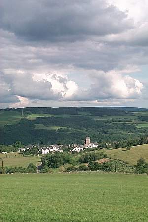
Aussichtspunkt
 630 m
Fountains and Wells
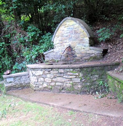
Brunnen an Grillschutzhütte Gusterath
No picture
640 m
Fountains and Wells
Drei-Ärzte-Brunnen
 640 m
Surveying
Gemarkungsgrenzstein
 660 m
Oaks
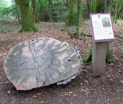
(Ehemalige) Dicke Eiche
 750 m
Place Names / Local History
Erste Erwähnung als Gudewilre
 780 m
Coats of Arms