Surveying · Undated
Gemarkungsgrenzstein


Description
This description is only available in German.
Translate with Google opens this page in Google Translate (external service)
Gemarkungsgrenzstein auf der Grenze der Gemeinden Gutweiler und Gusterath. [1]
Classification
- Subject area
- Architectural and Art Monuments
- Category
- Markers and Monuments
- Object type
- Surveying
- Date
- Undatiert
- Period
- Undated
Location
- District
- Trier-Saarburg
- Collective municipality
- Ruwer
- Municipality
- Gusterath
- Locality / location
- Romika
- Street
- Romikastraße
- Field name
- Kühlütsch und Alte Wald
- Coordinates
- WGS 84: 49.707001, 6.726295 (Position: exact) WGS 84: 49° 42′ 25.2″ N, 6° 43′ 34.7″ E UTM 32 (ETRS89): E 336069 · N 5508536
Sources
Data sources
- [1 ]Michael Grün, Trier, 2021.
On the internet
Picture credits
Last edited: 15 Jul 2021 Object ID: 51109
https://kulturdb.de/en/objekt/51109-gusterath-gemarkungsgrenzstein
Nearby
The nearest objects
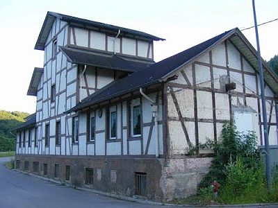 310 m
Extraction and Processing of Raw Materials
Ehemalige Drahtseilbahn - Talstation
320 m
Extraction and Processing of Raw Materials
Ehemalige Erzwäscherei
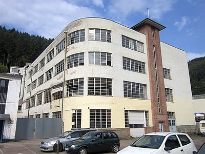 320 m
Engineering Structures and Industrial Sites
Romika-Werk - Konfektionsgebäude
Mills
Ehemalige Mühle
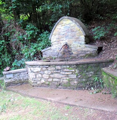 440 m
Fountains and Wells
Brunnen an Grillschutzhütte Gusterath
Field Names
Rothwies
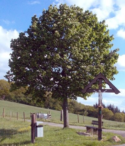 640 m
Wayside Shrines and Stations of the Cross
Hochkreuz
 650 m
Road Transport