Wayside Shrines and Stations of the Cross · Renaissance
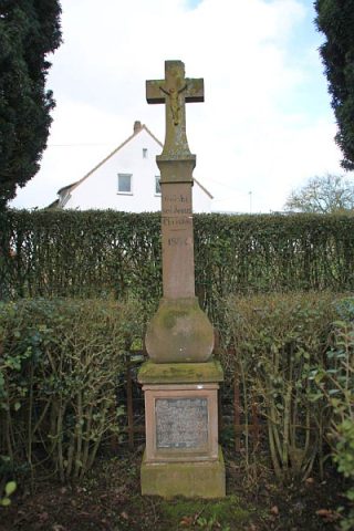
Erdorfer Kreuz
- Listed monument


Description
This description is only available in German.
Translate with Google opens this page in Google Translate (external service)
Wegekreuz; Nischenkreuz, bezeichnet 1620 oder 1622.
Classification
- Subject area
- Architectural and Art Monuments
- Category
- Religious Buildings
- Object type
- Wayside Shrines and Stations of the Cross
- Date
- 1620 oder 1622
- Period
- Renaissance
Location
- District
- Eifelkreis Bitburg-Prüm
- Collective municipality
- Bitburger Land
- Municipality
- Metterich
- Field name
- Im Zamperbaum
- Coordinates
- WGS 84: 49.982150, 6.585350 (Position: exact) WGS 84: 49° 58′ 55.7″ N, 6° 35′ 07.3″ E UTM 32 (ETRS89): E 326894 · N 5539440
Sources
Data sources
- [1] Denkmalliste des Landes Rheinland-Pfalz (Stand: 28. Februar 2014).
On the internet
Picture credits
- Picture 1: © Sandra Wack, Neuheilenbach, 2016. www.koerbchen-gesucht.de
- Picture 2: © Sandra Wack, Neuheilenbach, 2016. www.koerbchen-gesucht.de
- Picture 3: © Sandra Wack, Neuheilenbach, 2016. www.koerbchen-gesucht.de
- Picture 4: © Sandra Wack, Neuheilenbach, 2016. www.koerbchen-gesucht.de
- Picture 5: © Sandra Wack, Neuheilenbach, 2016. www.koerbchen-gesucht.de
Last edited: 8 Apr 2016 Object ID: 26783
https://kulturdb.de/en/objekt/26783-metterich-erdorfer-kreuz
Nearby
The nearest objects
 260 m
Wayside Shrines and Stations of the Cross
Wegekreuz
No picture
300 m
Farmhouses and Farm Buildings
Achtachsiges Wohnhaus
No picture
330 m
Field Names
Auf dem Kirchengraben
 330 m
Place Names / Local History
Ortsgeschichte Metterich
330 m
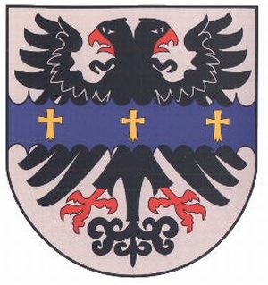
Coats of Arms
Wappen der Gemeinde Metterich
 340 m
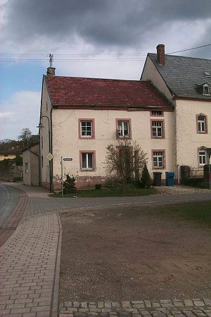
Farmhouses and Farm Buildings
Bauernhaus
No picture
360 m
Farmhouses and Farm Buildings
Stattlicher Streckhof
 390 m
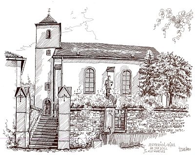
Pilgrimage Sites