Wayside Shrines and Stations of the Cross · Undated
Wegekreuz


Classification
- Subject area
- Architectural and Art Monuments
- Category
- Religious Buildings
- Object type
- Wayside Shrines and Stations of the Cross
- Date
- Undatiert
- Period
- Undated
Location
- District
- Eifelkreis Bitburg-Prüm
- Collective municipality
- Bitburger Land
- Municipality
- Nattenheim
- Locality / location
- Hof Lösenberg
- Field name
- Bei den Kreuzchen
- Coordinates
- WGS 84: 50.024790, 6.508740 (Position: exact) WGS 84: 50° 01′ 29.2″ N, 6° 30′ 31.5″ E UTM 32 (ETRS89): E 321560 · N 5544361
Sources
Data sources
- [1] GeoPortal des Landes Rheinland-Pfalz. http://www.geoportal.rlp.de/
On the internet
bitburgerland.de/index.php?id=325
Picture credits
Last edited: 14 Aug 2022 Object ID: 26786
https://kulturdb.de/en/objekt/26786-nattenheim-wegekreuz
Nearby
The nearest objects
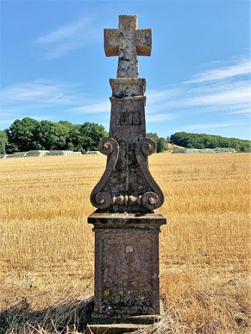 60 m
Wayside Shrines and Stations of the Cross
Wegekreuz
No picture
280 m
Field Names
Rothenberg
No picture
560 m
Wayside Shrines and Stations of the Cross
Wegekreuz
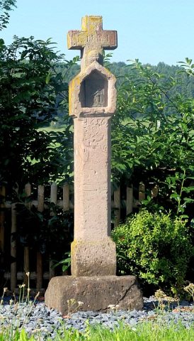 610 m
Wayside Shrines and Stations of the Cross
Postkreuz
No picture
610 m
Wayside Shrines and Stations of the Cross
Wegekreuz
No picture
680 m
Deserted Settlements
Wüstung Gersdorf (2)
No picture
730 m
Field Names
In der Sauerwies
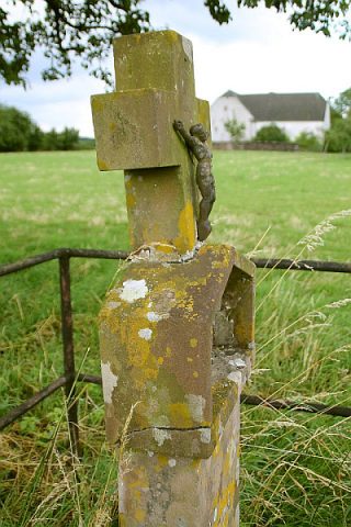 920 m
Wayside Shrines and Stations of the Cross