Deserted Settlements · Gothic
Wüstung Gersdorf (2)


© GeoBasis-DE / LVermGeoRP, dl-de/by-2-0
There is no picture of this object yet. Do you have a photo that you would like to make available to the Kulturdatenbank? Submit a picture
Description
This description is only available in German.
Translate with Google opens this page in Google Translate (external service)
[...] Die wüstgewordene Hofstätte lag im Nimstal, wo die Flurbezeichnung Gersdorf noch heute auf den untergegangenen Ort (759: locus Gauriago) hinweist.
Classification
- Subject area
- Archaeological Monuments
- Category
- Settlements
- Object type
- Deserted Settlements
- Date
- Circa 1100 bis circa 1500
- Period
- Gothic
Location
- District
- Eifelkreis Bitburg-Prüm
- Collective municipality
- Bitburger Land
- Municipality
- Nattenheim
- Locality / location
- Gersthof
- Field name
- In Gersdorf
- Coordinates
- WGS 84: 50.021693, 6.500549 (Position: presumed) WGS 84: 50° 01′ 18.1″ N, 6° 30′ 02.0″ E UTM 32 (ETRS89): E 320962 · N 5544036
Sources
Data sources
- Führer zu den vor- und frühgeschichtlichen Denkmälern. Band 33. Südwestliche Eifel. Hrsg. Römisch-Germanisches Zentralmuseum Mainz. Verlag Philipp von Zabern, Mainz. 1977. ISBN 3-8053-0302-5
On the internet
Last edited: 7 Oct 2003 Object ID: 8222
https://kulturdb.de/en/objekt/8222-nattenheim-wuestung-gersdorf-2
Nearby
The nearest objects
Mills
Nattenheimer Mühle im Nimstal
Field Names
In der Sauerwies
Field Names
Auf der Breitwies
Deserted Settlements
Wüstung Gersdorf (1)
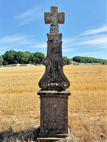 650 m
Wayside Shrines and Stations of the Cross
Wegekreuz
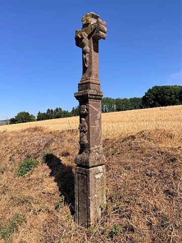 680 m
Wayside Shrines and Stations of the Cross
Wegekreuz
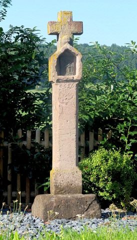 730 m
Wayside Shrines and Stations of the Cross
Postkreuz
Burial Mounds