Field Names · Gothic
Klingelborn


© GeoBasis-DE / LVermGeoRP, dl-de/by-2-0
There is no picture of this object yet. Do you have a photo that you would like to make available to the Kulturdatenbank? Submit a picture
Description
This description is only available in German.
Translate with Google opens this page in Google Translate (external service)
Am Fuße der am Berghang gelegenen Gemarkung plätschert ununterbrochen ein Brünnlein. 1426 im Pfarrarchiv von Sankt Laurentius genannt. [1]
Classification
- Subject area
- History
- Category
- Field Names
- Date
- 1426
- Period
- Gothic
Location
- District
- Trier-Saarburg
- Collective municipality
- Saarburg-Kell
- Town
- Saarburg
- Field name
- Klingelborn
- Coordinates
- WGS 84: 49.610744, 6.544889 (Position: exact) WGS 84: 49° 36′ 38.7″ N, 6° 32′ 41.6″ E UTM 32 (ETRS89): E 322641 · N 5498248
Sources
Data sources
- [1] 1000 Jahre Saarburg. 964-1964. Bernhard Brost: die Saarburger Flurnamen.
On the internet
Last edited: 3 Oct 2018 Object ID: 26914
https://kulturdb.de/en/objekt/26914-saarburg-klingelborn
Nearby
The nearest objects
Extraction and Processing of Raw Materials
Ehemalige Gerberei
Field Names
Cunoweiher
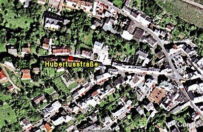 250 m
Historic Townscapes
Hubertusstraße
Viewpoints
Aussichtspunkt Seilbahn
Town Houses and Commercial Buildings
Portal und Türblatt
Chapels
Hubertuskapelle
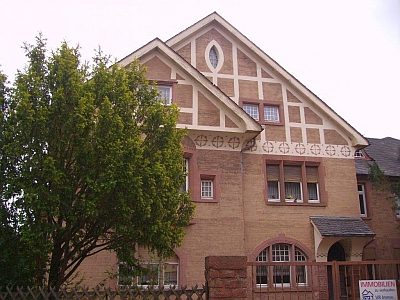 330 m
Town Houses and Commercial Buildings
Villa
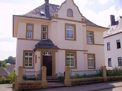 340 m
Town Houses and Commercial Buildings