Field Names · Undated
Längs Beienpesch

Description
This description is only available in German.
Translate with Google opens this page in Google Translate (external service)
Classification
- Subject area
- History
- Category
- Field Names
- Date
- Undatiert
- Period
- Undated
Location
- District
- Vulkaneifel
- Collective municipality
- Daun
- Municipality
- Deudesfeld
- Field name
- Längs Beienpesch
- Coordinates
- WGS 84: 50.100216, 6.730506 (Position: exact) WGS 84: 50° 06′ 00.8″ N, 6° 43′ 49.8″ E UTM 32 (ETRS89): E 337698 · N 5552240
Sources
Data sources
- [1] Wilma Herzog, Gerolstein, 2016.
- [2] Jungandreas, Wolfgang: Historisches Lexikon der Siedlungs- und Flurnamen des Mosellandes. Hrsg. Arbeitsgemeinschaft für Landesgeschichte und Volkskunde des Trierer Raumes; 1962.
On the internet
Picture credits
- Picture 1: Sputniktilt [CC BY-SA 3.0 (https://creativecommons.org/licenses/by-sa/3.0)]
Last edited: 23 Aug 2016 Object ID: 27058
https://kulturdb.de/en/objekt/27058-deudesfeld-laengs-beienpesch
Nearby
The nearest objects
No picture
120 m
Field Names
In der Dellwies
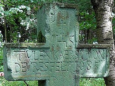 160 m
Wayside Shrines and Stations of the Cross
Thulenkreuz am Meerfelder Pfad
No picture
170 m
Field Names
Hinter Hüttendriesch
No picture
190 m
Field Names
Unterm Zährenborn
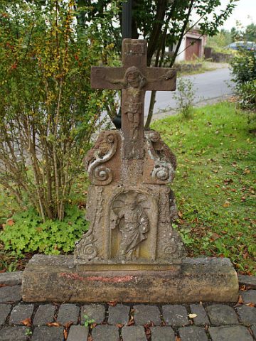 230 m
Wayside Shrines and Stations of the Cross
Wegekreuz mit Sankt Matthias
No picture
270 m
Farmhouses and Farm Buildings
Quereinhaus
No picture
300 m
Farmhouses and Farm Buildings
Wohnhaus mit Ökonomiegebäude
No picture
340 m
Farmhouses and Farm Buildings