Field Names · Undated
Im Wölchespesch


© GeoBasis-DE / LVermGeoRP, dl-de/by-2-0
There is no picture of this object yet. Do you have a photo that you would like to make available to the Kulturdatenbank? Submit a picture
Description
This description is only available in German.
Translate with Google opens this page in Google Translate (external service)
Pesch - Flurname, der auf pascuum = Weide zurückgeht. [1]
Classification
- Subject area
- History
- Category
- Field Names
- Date
- Undatiert
- Period
- Undated
Location
- District
- Vulkaneifel
- Town
- Gerolstein
- Locality / location
- Gees
- Field name
- Im Wölchespesch
- Coordinates
- WGS 84: 50.209177, 6.717175 (Position: exact) WGS 84: 50° 12′ 33.0″ N, 6° 43′ 01.8″ E UTM 32 (ETRS89): E 337115 · N 5564382
Sources
Data sources
- [1] Jungandreas, Wolfgang: Historisches Lexikon der Siedlungs- und Flurnamen des Mosellandes. Hrsg. Arbeitsgemeinschaft für Landesgeschichte und Volkskunde des Trierer Raumes; 1962.
On the internet
Last edited: 16 May 2013 Object ID: 27141
https://kulturdb.de/en/objekt/27141-gerolstein-im-woelchespesch
Nearby
The nearest objects
 130 m
Volcanoes
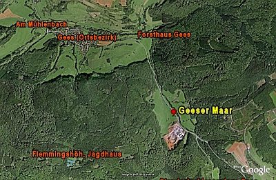
Vulkan Geeser Maar
140 m
Dry Maars
Geeser Maar
Field Names
Im Buchholz
Field Names
In der Nachtweid an der Sandkaul
Field Names
In der Nachtweid an der Sandkaul
Field Names
Auf dem Dellcheswieschen
Field Names
Im Dellcheswieschen
Field Names