Wayside Shrines and Stations of the Cross · Historicism / Art Nouveau
Wegekreuz


Description
This description is only available in German.
Translate with Google opens this page in Google Translate (external service)
An der Gemeindegrenze zu Dackscheid. [1]
Classification
- Subject area
- Architectural and Art Monuments
- Category
- Religious Buildings
- Object type
- Wayside Shrines and Stations of the Cross
- Date
- 1860
Location
- District
- Eifelkreis Bitburg-Prüm
- Collective municipality
- Arzfeld
- Municipality
- Eilscheid
- Street
- Bei Dorfstraße 1
- Field name
- Im Käulchen
- Coordinates
- WGS 84: 50.126060, 6.392230 (Position: exact) WGS 84: 50° 07′ 33.8″ N, 6° 23′ 32.0″ E UTM 32 (ETRS89): E 313609 · N 5555903
Sources
Data sources
- [1] Michael Fischer, Malberg/Waxweiler, 2016.
On the internet
Picture credits
- Picture 1: © Michael Fischer, Malberg/Waxweiler, 2016.
- Picture 2: © Michael Fischer, Malberg/Waxweiler, 2016.
- Picture 3: © Michael Fischer, Malberg/Waxweiler, 2016.
- Picture 4: © Michael Fischer, Malberg/Waxweiler, 2016.
- Picture 5: © Michael Fischer, Waxweiler, 2014.
- Picture 6: © Michael Fischer, Waxweiler, 2014.
Last edited: 20 Sep 2016 Object ID: 27602
https://kulturdb.de/en/objekt/27602-eilscheid-wegekreuz
Nearby
The nearest objects
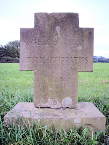 250 m
Wayside Shrines and Stations of the Cross
Wegekreuz
No picture
420 m
Viewpoints
Aussichtspunkt Gerichtsberg
No picture
420 m
Execution Sites
Gewann Auf dem Gericht
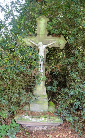 420 m
Wayside Shrines and Stations of the Cross
Wegekreuz
No picture
480 m
Field Names
Wasenborn
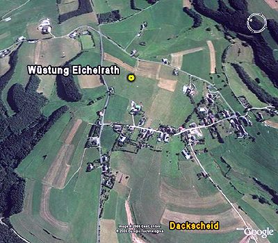 510 m
Deserted Settlements
Wüstung Eichelrath
No picture
530 m
Field Names
Auf Wüstenberg
No picture
610 m
Field Names