Wayside Shrines and Stations of the Cross · Undated
Dietzenkreuzchen


Description
This description is only available in German.
Translate with Google opens this page in Google Translate (external service)
Classification
- Subject area
- Architectural and Art Monuments
- Category
- Religious Buildings
- Object type
- Wayside Shrines and Stations of the Cross
- Date
- Undatiert
- Period
- Undated
Location
- District
- Eifelkreis Bitburg-Prüm
- Collective municipality
- Bitburger Land
- Municipality
- Eßlingen
- Field name
- Bei Dietzenkreuzchen
- Coordinates
- WGS 84: 49.920413, 6.510969 (Position: exact) WGS 84: 49° 55′ 13.5″ N, 6° 30′ 39.5″ E UTM 32 (ETRS89): E 321334 · N 5532752
Sources
Data sources
- [1] GeoPortal des Landes Rheinland-Pfalz. http://www.geoportal.rlp.de/
- [2] Michael Grün, Trier, 2022.
On the internet
de.wikipedia.org/wiki/E%C3%9Flingen
Picture credits
Last edited: 18 Oct 2022 Object ID: 27887
https://kulturdb.de/en/objekt/27887-esslingen-dietzenkreuzchen
Nearby
The nearest objects
No picture
260 m
Field Names
Hosender Grund
No picture
270 m
Field Names
Schankborn
 310 m
Settlements
Römische Siedlungsstelle
No picture
630 m
Field Names
Hirzendriesch
No picture
710 m
Field Names
In den Längten hinter Palmus
 970 m
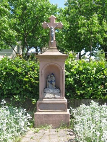
Wayside Shrines and Stations of the Cross
Wegekreuz aus dem 19. Jahrhundert
 1.1 km
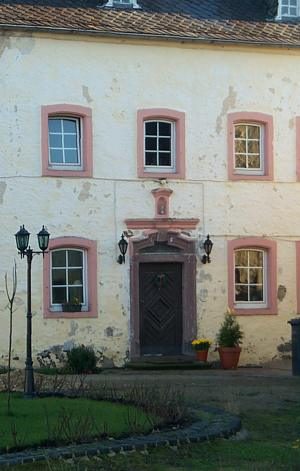
Place Names / Local History
Erste Erwähnung als Stedehym
 1.1 km
Coats of Arms