Field Names · Gothic
Ober dem Schankenbungert


© GeoBasis-DE / LVermGeoRP, dl-de/by-2-0
There is no picture of this object yet. Do you have a photo that you would like to make available to the Kulturdatenbank? Submit a picture
Description
This description is only available in German.
Translate with Google opens this page in Google Translate (external service)
Flurname Bungert - boumgart, althochdeutsch "(Obst)baumgarten": Bangert, Bongert, Bungert, Banggarten, Bonggarten, Bamgarten, Bomgarten, Bumgarten, Bömgarten, Bemgarten. [1]
Classification
- Subject area
- History
- Category
- Field Names
- Date
- Circa 1100 bis circa 1500
- Period
- Gothic
Location
- District
- City of Trier
- Collective municipality
- Verbandsfreie Gemeinde Trier
- Town
- Trier
- Locality / location
- Trier-West/Pallien
- Field name
- Ober dem Schankenbungert
- Coordinates
- WGS 84: 49.748728, 6.611594 (Position: exact) WGS 84: 49° 44′ 55.4″ N, 6° 36′ 41.7″ E UTM 32 (ETRS89): E 327948 · N 5513431
Sources
Data sources
- [1] Seite "Flurname". In: Wikipedia, Die freie Enzyklopädie. Bearbeitungsstand: 31. Januar 2016, 07:39 UTC. URL: https://de.wikipedia.org/w/index.php?title=Flurname&oldid=150872536 (Abgerufen: 25. Februar 2016, 10:13 UTC)
On the internet
Last edited: 8 Jun 2013 Object ID: 28079
https://kulturdb.de/en/objekt/28079-trier-west-pallien-ober-dem-schankenbungert
Nearby
The nearest objects
Fortresses and Bunkers
Felsenstollen als Luftschutzraum
Vineyard Sites
Freiwingert
 120 m
Beeches
Blutbuche
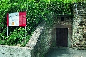 120 m
Roman Tombs
Römische Grabkammern Am Reichertsberg
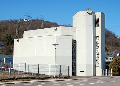 130 m
Catholic Churches
Profanierte Kirche Sankt Simeon
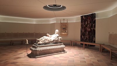 130 m
Catholic Churches
Simeonskrypta
Engineering Structures and Industrial Sites
Sandfang am Irrbach
Roman Tombs