Engineering Structures and Industrial Sites · 20th Century
Sandfang am Irrbach


© GeoBasis-DE / LVermGeoRP, dl-de/by-2-0
There is no picture of this object yet. Do you have a photo that you would like to make available to the Kulturdatenbank? Submit a picture
Description
This description is only available in German.
Translate with Google opens this page in Google Translate (external service)
Im Sandfang wird die Fließgeschwindigkeit des Abwassers reduziert, wodurch schwere Stoffe wie mitgeführte Sandpartikel und Kies absinken. Das Sandfanggut wird regelmäßig geräumt und entsorgt. [2]
Classification
- Subject area
- Architectural and Art Monuments
- Date
- 1938
- Period
- 20th Century
Location
- District
- City of Trier
- Collective municipality
- Verbandsfreie Gemeinde Trier
- Town
- Trier
- Locality / location
- Trier-West/Pallien
- Street
- Am Irrbach
- Field name
- Ober dem Schankenbungert
- Coordinates
- WGS 84: 49.750147, 6.611012 (Position: exact) WGS 84: 49° 45′ 00.5″ N, 6° 36′ 39.6″ E UTM 32 (ETRS89): E 327911 · N 5513590
Sources
Data sources
- [1] Stadtplan von 1938.
- [2] http://www.wasser-wissen.de/abwasserlexikon/s/sandfang.htm
On the internet
Last edited: 24 Apr 2021 Object ID: 50485
https://kulturdb.de/en/objekt/50485-trier-west-pallien-sandfang-am-irrbach
Nearby
The nearest objects
 110 m
Vineyard Sites
Weingarten Balduinshäuschen
Fortresses and Bunkers
Felsenstollen als Luftschutzraum
 140 m
Markers and Monuments
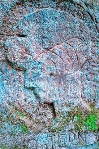
Relief mit Frauenkopf am Irminerberg
Field Names
Ober dem Schankenbungert
 180 m
Beeches
Blutbuche
180 m
Lime Trees
Linde im Balduinstälchen
190 m
Beeches
Blutbuche
200 m
Beeches